
MAP ACCURACY AND LIMITATIONS
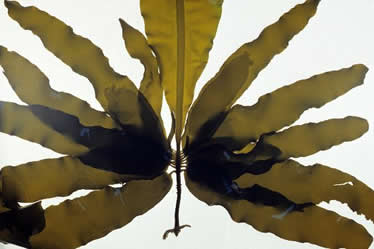
Ribbon kelp
(Alaria marginata), photo by Michael Hawkes
The E-Flora maps are created using data provided by several data providers. Each datra provider has their own map layer on the E-Flora interactive maps. By default, E-Flora maps display data layers from all data providers. However, not all data layers are of equal accuracy and reliability. Specimen-based records are more likely to be accurate, and verifiable, than observation-based records.
For higher accuracy and reliability, we recommend that you turn off the less accurate data layers on the interactive maps. This will usually result in a more accurate distribution. Less accurate, observation-based data layers are the BISON observation records.
Notes and other limitations
Note that all photo-based records are backed by voucher photos vetted by experts.
Further note that distribution maps for 'species' in E-Flora BC may include records that actually represent subspecies and varieties. This happens when the specimens or observations provided by the data provider were not identified to the subspecies or variety level, or when changes to nomenclature recognizes new subspecies and varieties. At the subspecies and variety level, this can mean that our maps may under-represent actual range for a subspecies or variety. Use the label data to help sort out accuracy of location information.
Although our maps visualize the data from various data providers, many databases are not yet complete. Updating their databases is an ongoing porcess in most herbaria.
Older specimens of a species often do not have precise location information. Specimen records that lack precise location information (coordinates) cannot be mapped. When assessing a species occurrence in a region, it is necessary to check the herbarium collections for these older records in order to gain further insights into distribution.
Where specimens have been re-determined, nomenclature has been changed, or species have been split, the databases that we use for mapping may not yet reflect these changes. Our maps can ony reflect what is in the database and this can result in blank maps, or dots on a map that have not yet been shifted to the new name or species. This means that mapping may not be accurate. To check for updates that are not yet in an institution's database, a herbarium visit is needed.
The E-Flora maps and species distributions should be used in the context of these limitations.
Recommended citation: Author, date, page title. In: Klinkenberg, Brian. (Editor) 2021. E-Flora BC: Electronic Atlas of the Flora of British Columbia [eflora.bc.ca]. Lab for Advanced Spatial Analysis, Department of Geography, University of British Columbia, Vancouver. [Date Accessed]
E-Flora BC: An initiative of the Spatial Data Lab, Department of Geography UBC, and the UBC Herbarium.
© Copyright 2021 E-Flora BC.