|
||||||||||||||||||||||||||||
 |
||||||||||||||||||||||||||||
|
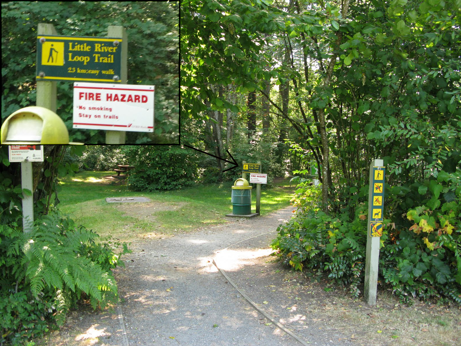
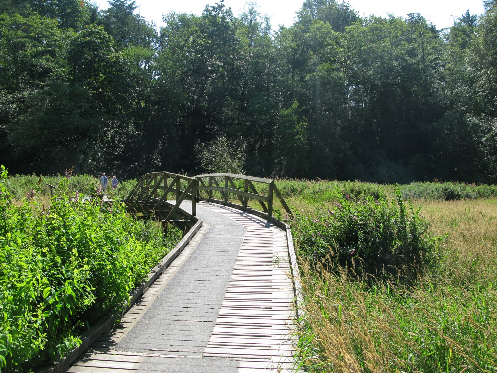
Geographical Biogeosciences 308 currently offers a field trip that brings students across the Fraser Valley to explore many interesting geomorphology sites. These sites are highlighted in the map below, along with other related information. Click here for full screen map.
Information
Photos
Additional Resources
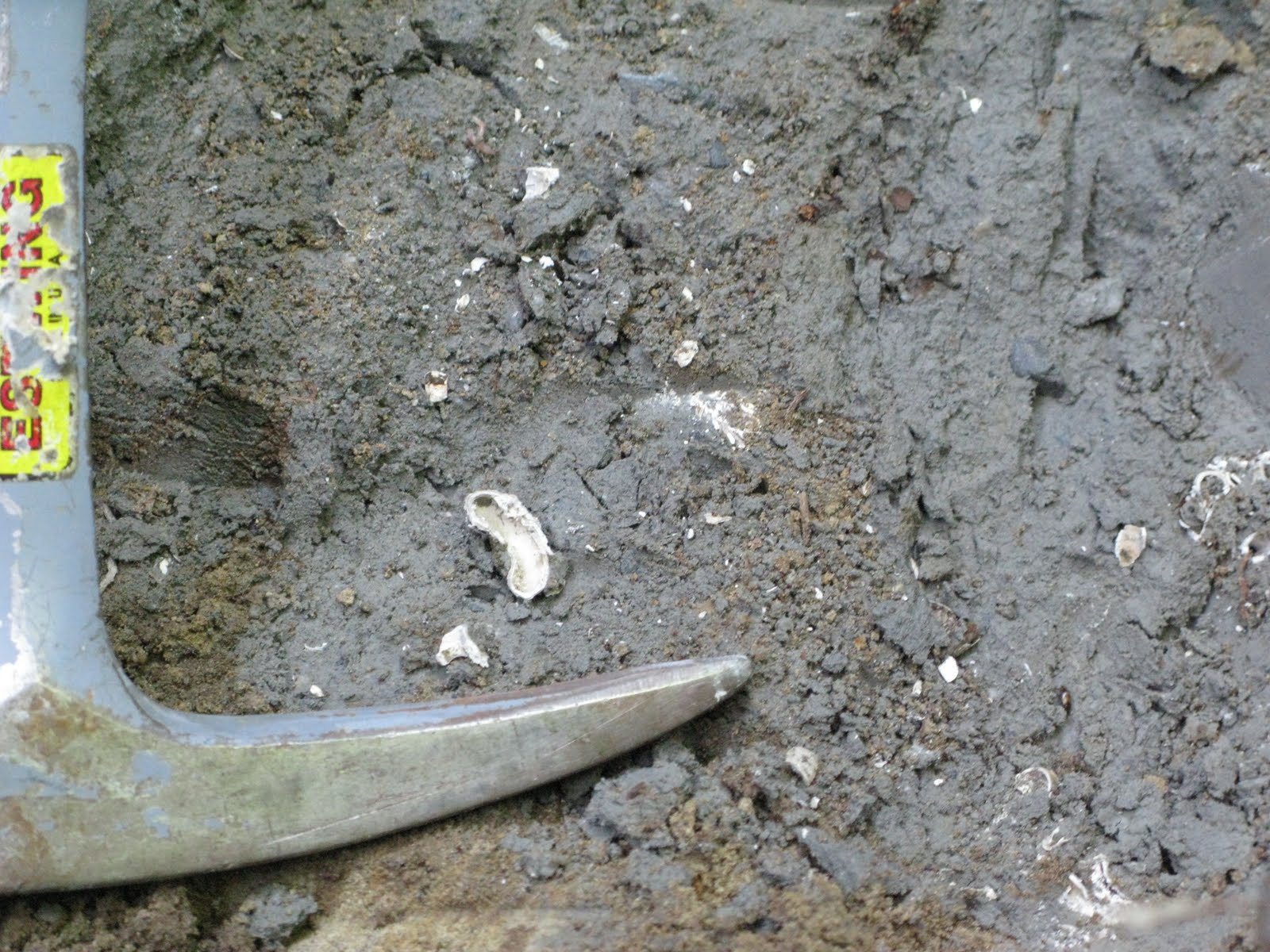
Stop One: Drainage ditch at the side of Highway 99A
An exposure of massive, shell-bearing stony sandy mud overlain by stony silty sand and fine to medium sand.
Click photo for high resolution image
Not Available
Information
Photos
Additional Resources
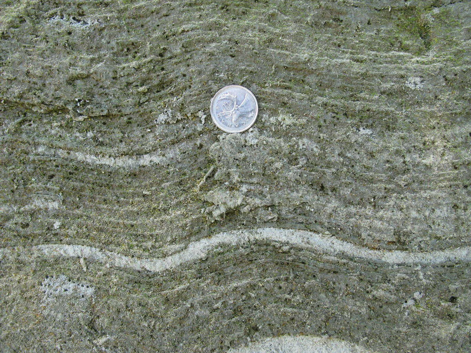
Stop Two: Campbell River Meltwater Channel
Sand sediment is exposed here that originally was transported to the sea via a meltwater channel flowing along the Campbell River Valley. The sediments coarsen towards the apex of the delta, where they are mainly pebble-cobble gravel.
Click photo for high resolution image
Not Available
Information
Photos
Additional Resources
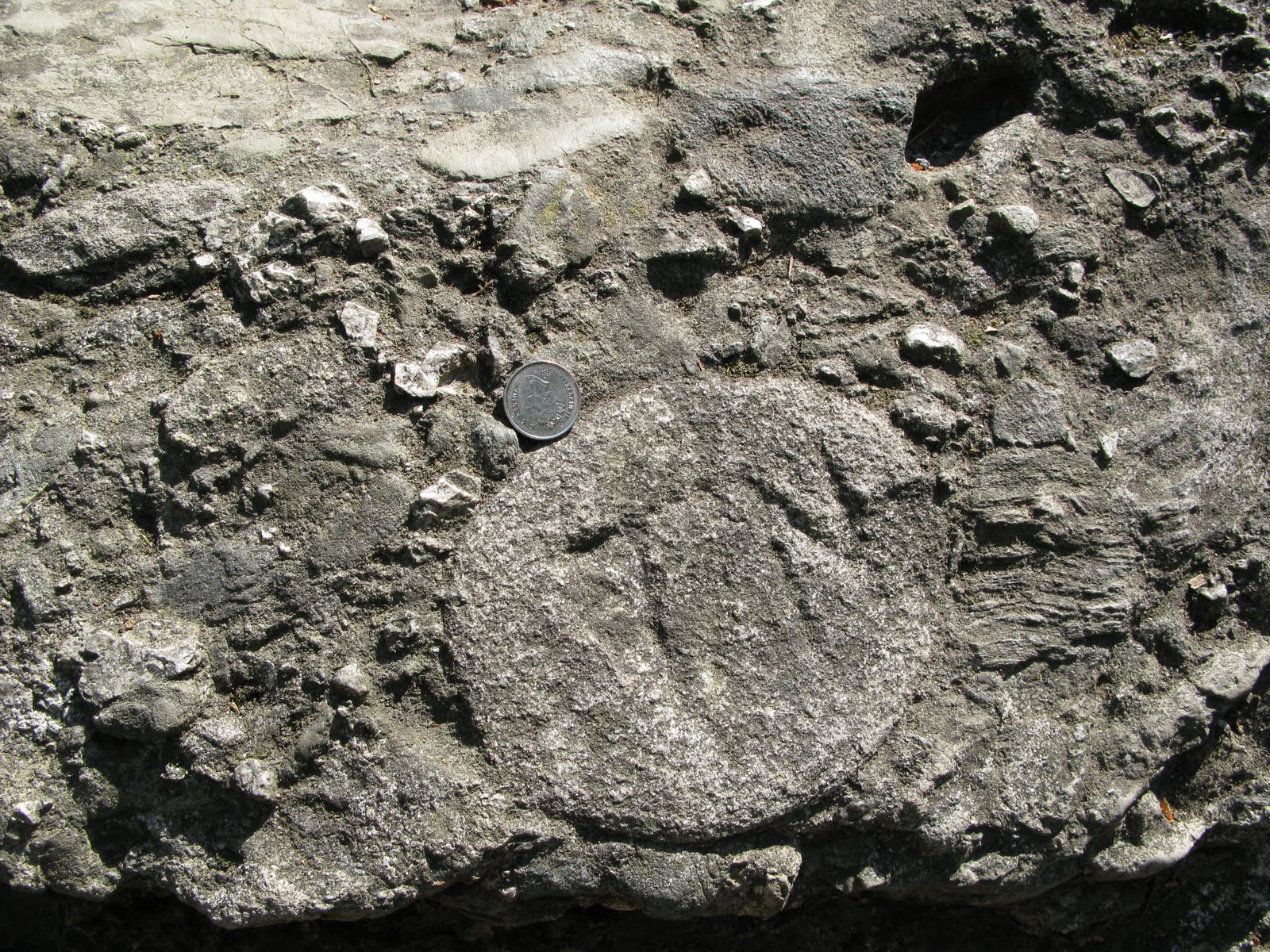
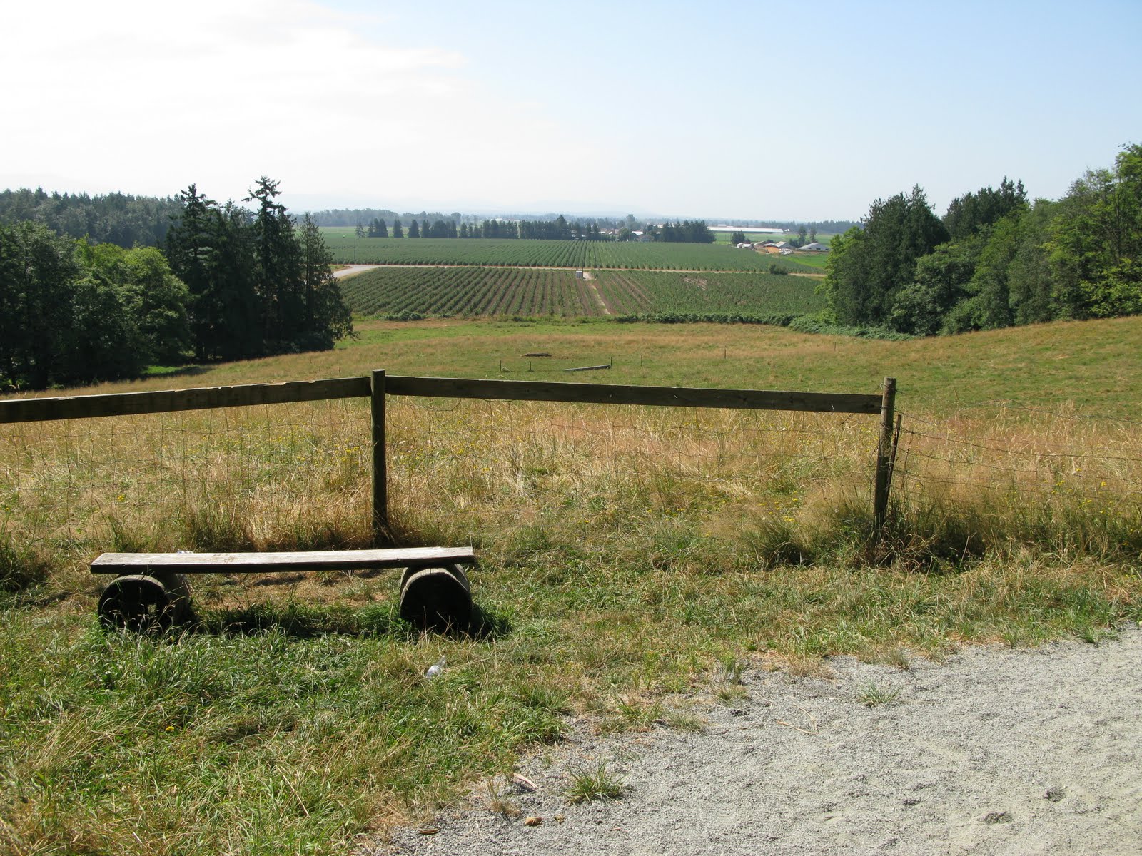
Stop Three: Aldergrove Lake Regional Park - Big Rock
A large glacial erratic and a path with a view of the Abbotsford outwash plain.
Click photo for high resolution image
Not Available
Information
Photos
Additional Resources
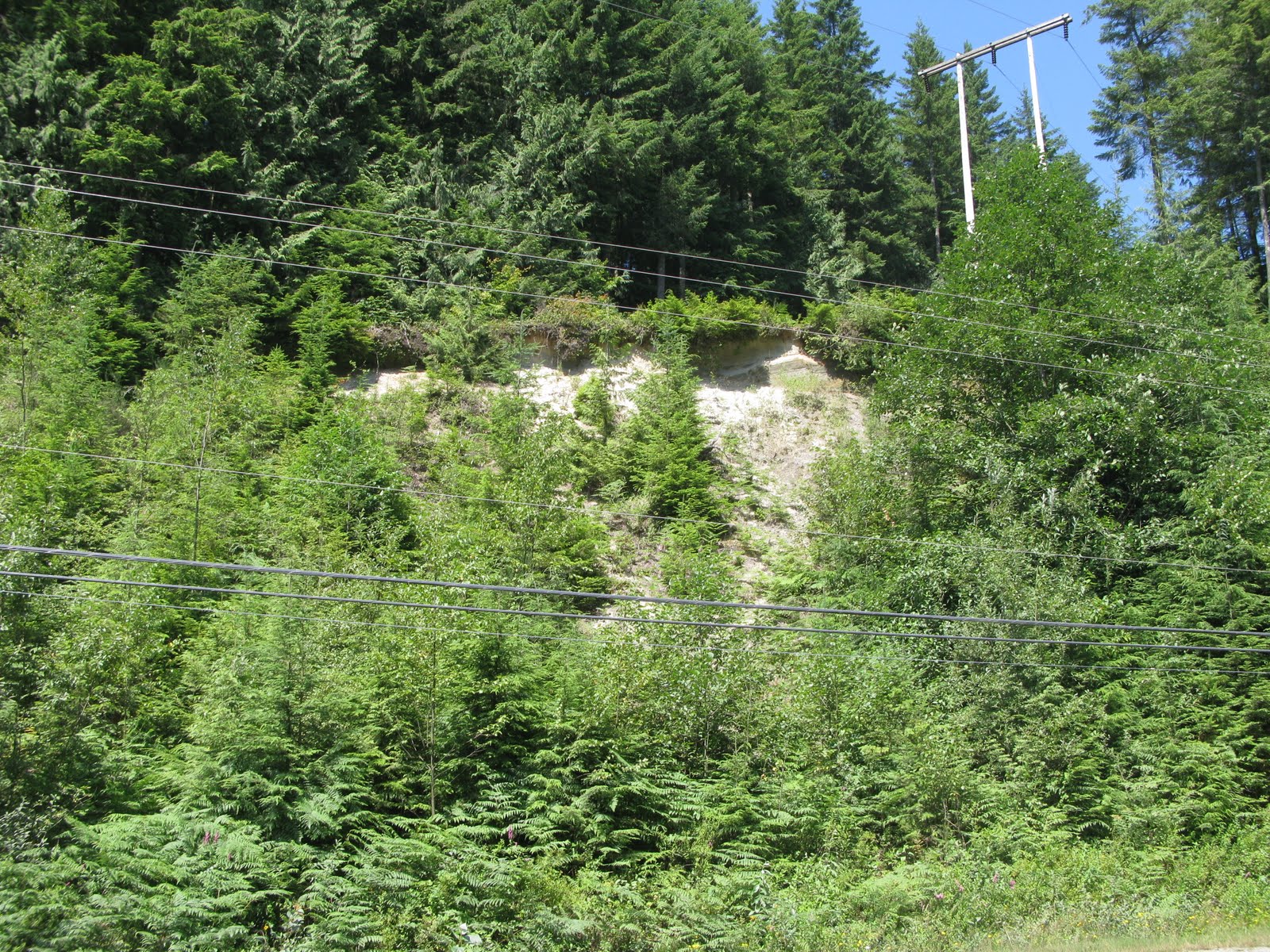
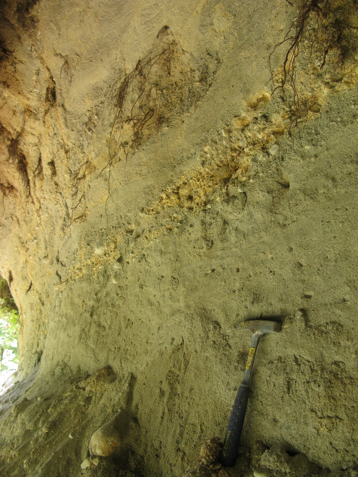
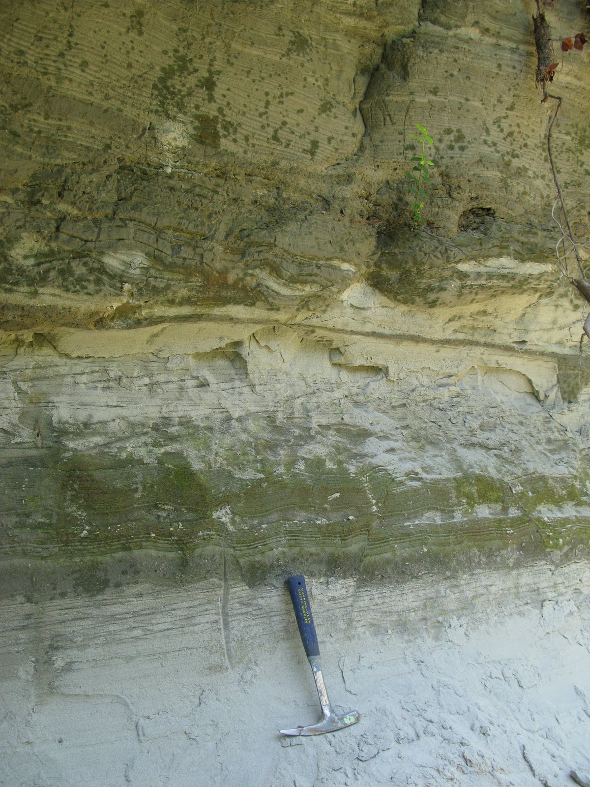
Stop Four: Sumas Gravel Pits.
Exposed are approximately 34m of gravel and sand overlain by up to 3m of lodgement till and 2m of eolian sand and silt.
Click photo for high resolution image

Cut showing layers of sediment Not Available
Information
Photos
Additional Resources
Stop Five: Across from Lafarge Gravel Pit
Glacial Lake deposits.
Click photo for high resolution image
Not Available
Information
Photos
Additional Resources
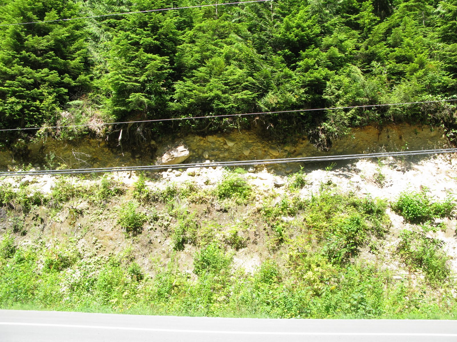
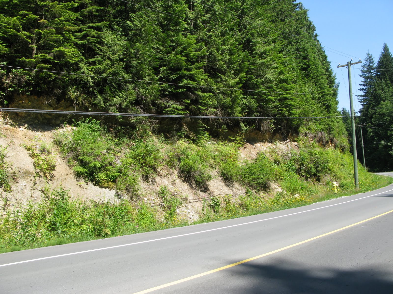
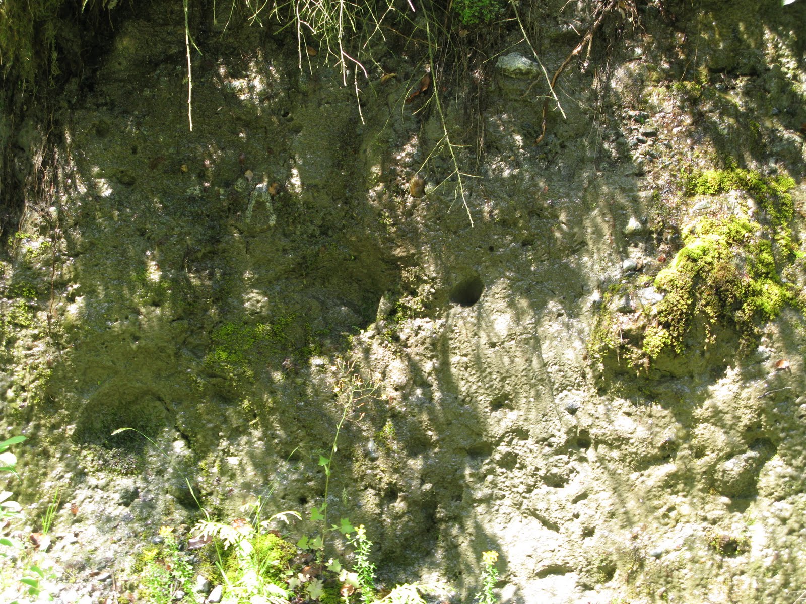
Stop Six: Basal till, Dewdney Trunk Road.
Sumas basal till (probably lodgement till) is exposed on a cut in the road.
Click photo for high resolution image
Not Available
Information
Photos
Additional Resources
Vancouver International Airport Climate Station
Latitude: 49°11'42.000"" N
Click photo for high resolution image
Not Available
Historical Data
Spreadsheet of Monthly Data |
||||||||||||||||||||||||||||
|
Department of Geography - Faculty of Arts - The University of British Columbia |
||||||||||||||||||||||||||||