|
|||||||||||||
 |
|||||||||||||
|
GEOB 206 Field Trip Opportunities Geographical Biogeosciences 206 provides material for several self-guided field trips in Vancouver and the surrounding areas. These trips allow students to experience beyond what is given in lectures and can provide a geographical history of the site and give students a new perspective on the local geography. The different sites and corresponding information are outlined below. Click here for full screen map.
Information
Photos
Additional Resources
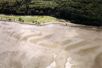
Spanish Banks, north of UBC Point Grey Campus
At Spanish Banks, one has a safe spot to observe a full tidal cycle and its effect on sedimentary bedforms. Repeated visits are required to observe the evolution of the beach sand. Experiments either involve manipulation of the surface to see the tides' effects on the manipulation, or a mere observational experiment to make measures of sand formations caused by tides.
Click photo for high resolution image
Information
Photos
Additional Resources
Howe Sound Mountain Catchments Near Lions Bay on Hwy 99
In these mountain catchments there are opportunities to observe stream activity and slope failures. Some hiking skill might be helpful, as the site is at about 600m above sea level.
Click photo for high resolution image
Pictures are on their way!
Information
Photos
Additional Resources
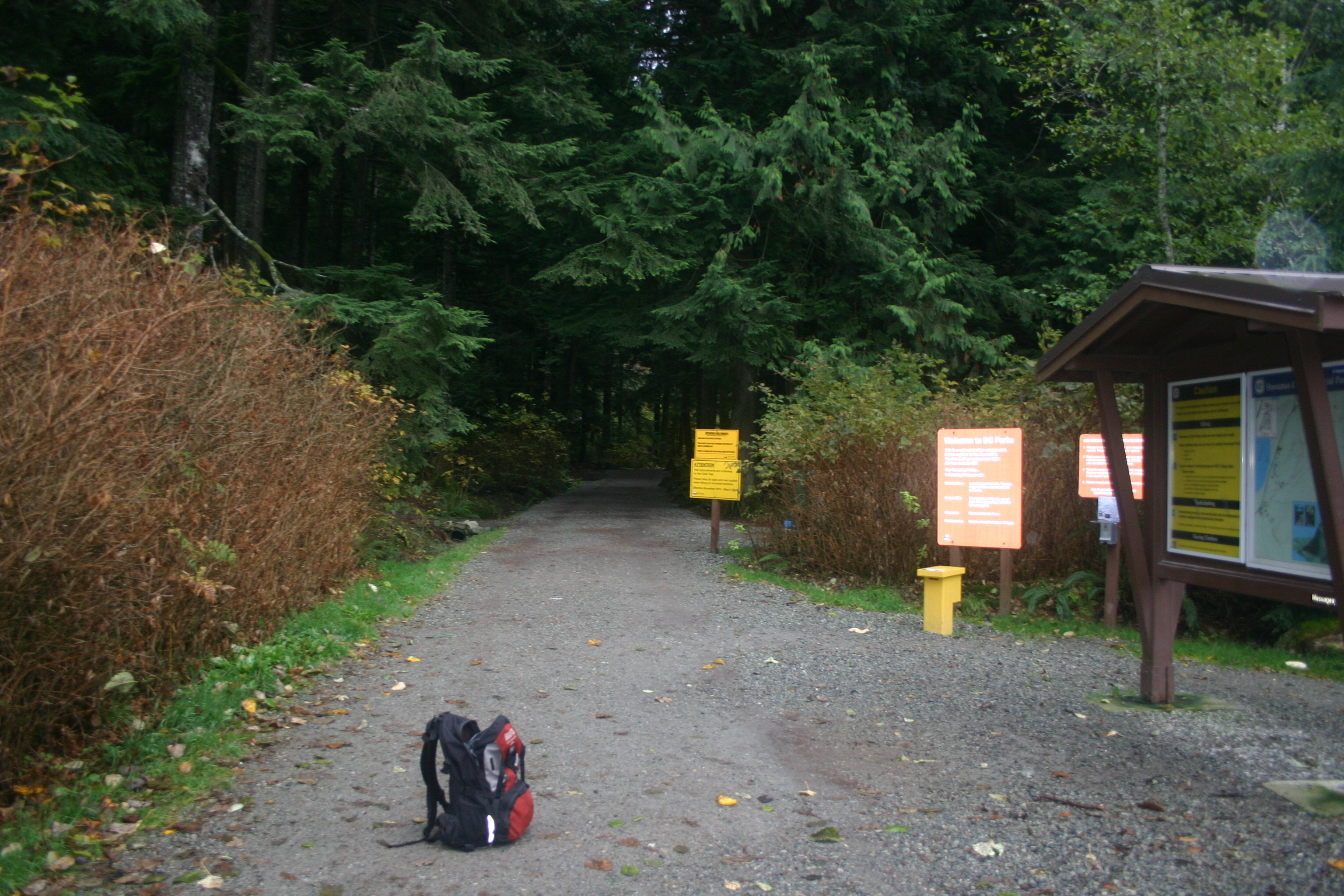
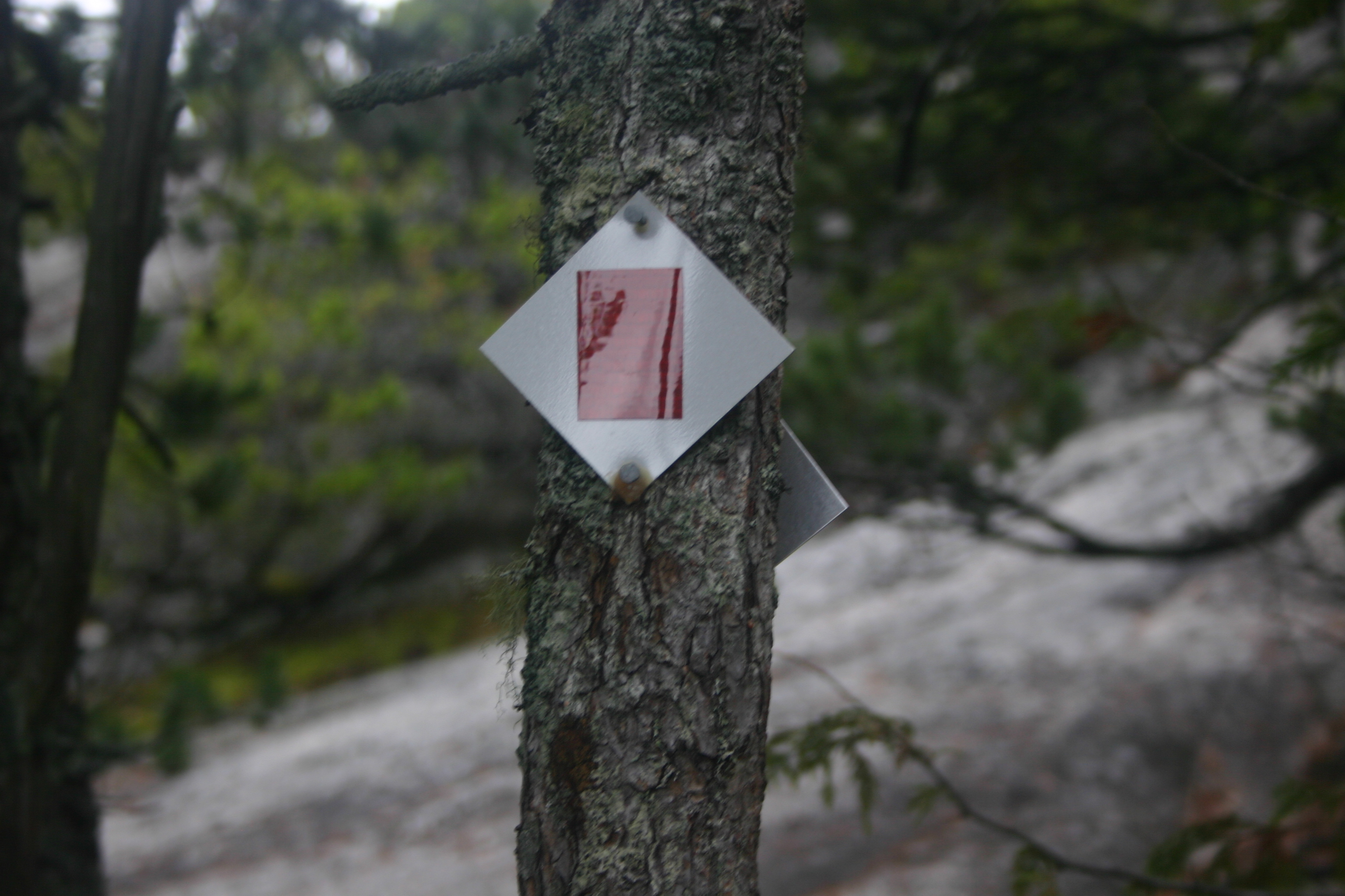
Tantalus Lookout and Stawamus Chief off Hwy99
On this trip, you will examine the landscape at two stops, which provide panoramic viewpoints. Specific objectives include the following: i) description of mountain features in the Tantalus Range, a high range that was not completely glacier covered; ii) description of the Garibaldi area, a late Pleistocene volcanic centre, and physiographic comparison with the Tantalus Range and with the granodiorite ridges to the south along Howe Sound; iii) examination of the pattern of sedimentation in the Squamish Valley and the delta of Squamish River; iv) review of the physiography of upper Howe Sound.
Click photo for high resolution image
Click photo for high resolution image
Information
Photos
Additional Resources
Lower Seymour Conservation Reserve
The purpose of this trip is to study clastic sediment sources in the Coast Mountains. You should be thinking about their distribution in the landscape and the means of transport to valley bottoms and rivers. "Clastic sediment" refers to particulate mineral material (i.e. rock fragments and mineral soil particles).
Click photo for high resolution image
Information
Photos
Additional Resources
Howe Sound and North Shore
The purpose of this trip is to introduce you to technical observation of landscape. "Technical observation" includes identification and description of specific landforms, and observation of features and details of landscapes, landforms, and earth materials in a systematic way in order to permit inferences about how the landscape has developed.
Click photo for high resolution image
|
|||||||||||||
|
Department of Geography - Faculty of Arts - The University of British Columbia |
|||||||||||||