|
||||||||||||||||||||||||||||||||||||||||||||||||||||||||||
 |
||||||||||||||||||||||||||||||||||||||||||||||||||||||||||
|
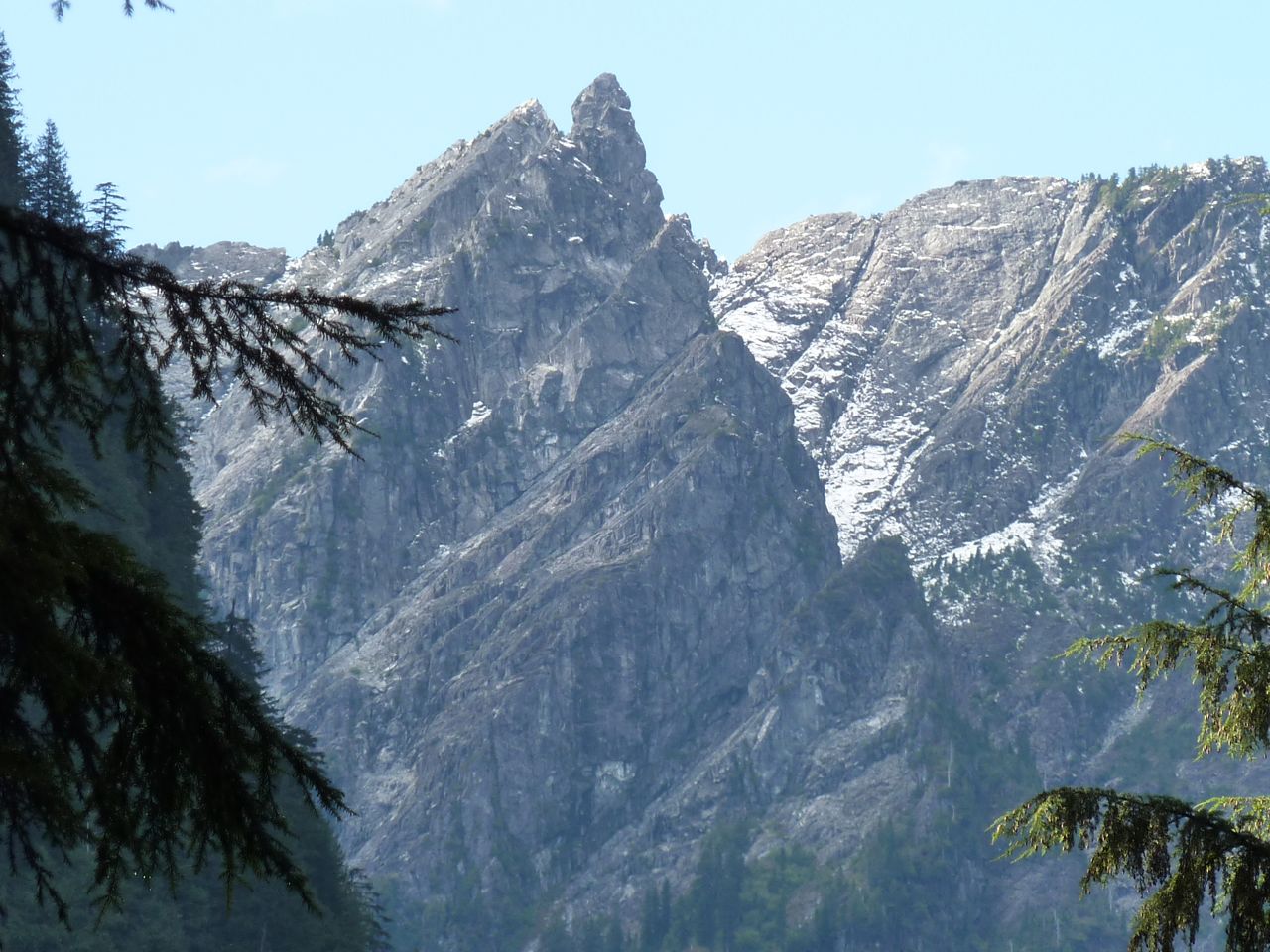
Across Burrard Inlet from Vancouver, the North Shore rises steeply up from sea level to over 1500 meters. This dramatic landscape is still readjusting from the last Ice age and as such is very geomorphically active. Debris flows, rock slides and other slope failures are common here. Three river valleys, the Capilano, the Lynn and the Seymour, divide the North Shore Mountains and many other smaller creeks run down its forested flanks. Below you can find many locations around the north shore that are of interest to us at the department. Click here for full screen map.
Information
Photos
Additional Resources
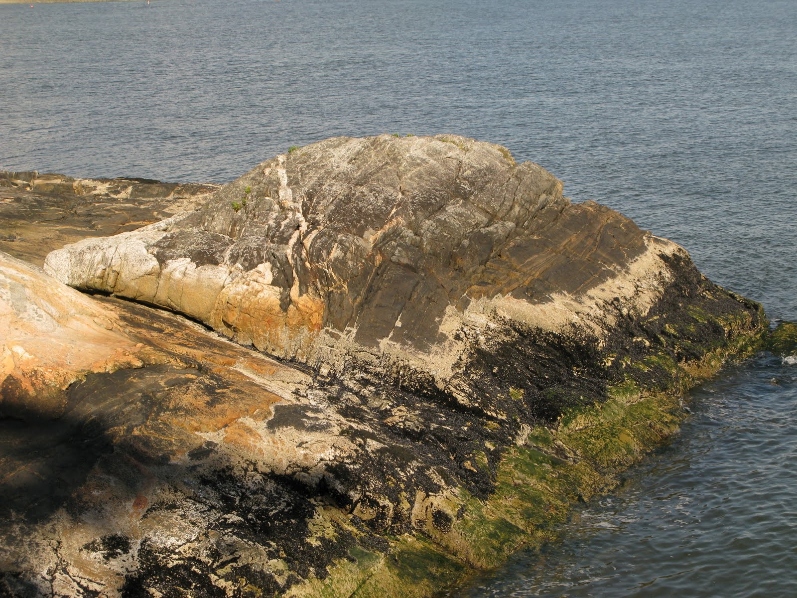
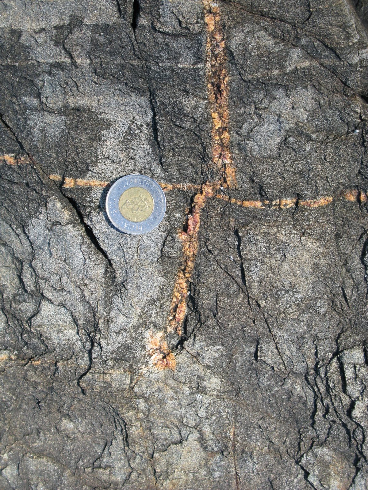
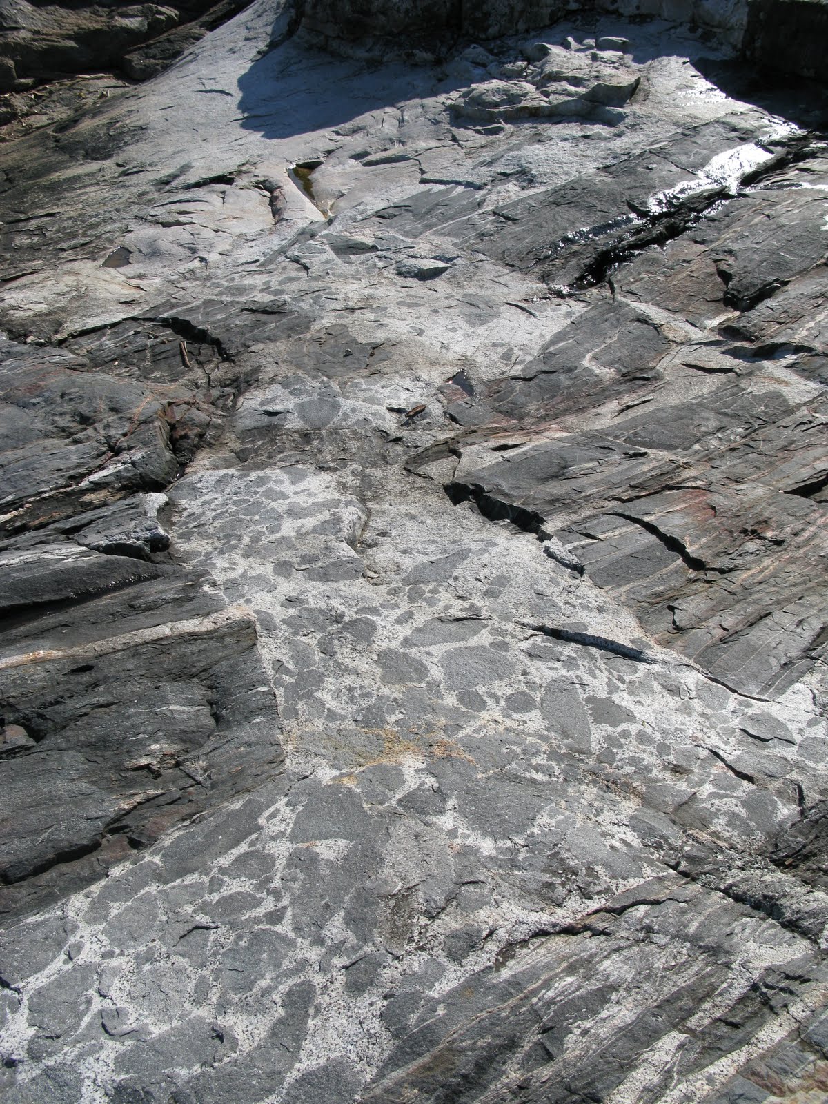
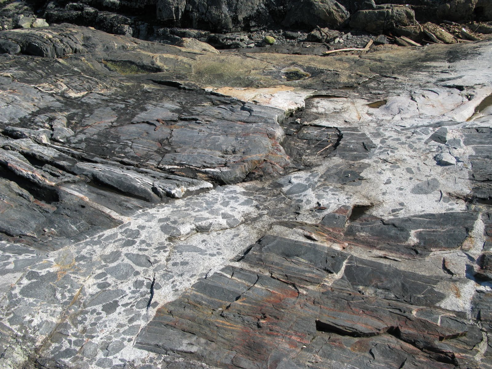
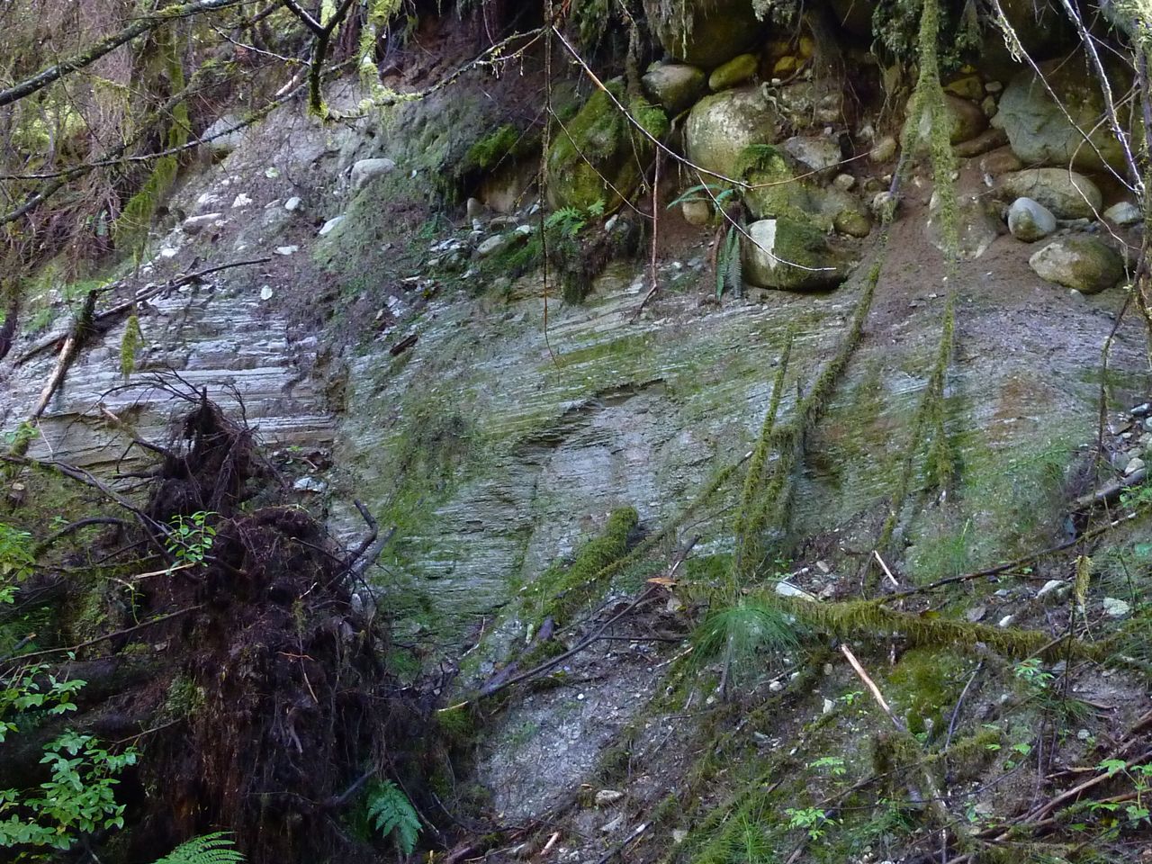
Caulfeild Gneiss
As you walk along the very scenic shore in the park, you will cross some of the oldest rocks in the Vancouver area. About 400 million years ago, and the place was a land called Wrangellia that geologists think originated somewhere in the circum-Arctic region. By about 200 million years ago, this land of Wrangellia had migrated southward into the ancestor of what is now the Pacific Ocean. There it formed a chain of volcanic islands rather like the present day Aleutian Islands. Over a period of many millions of years, Wrangellia was caught up in crustal movements and about 95 million years ago lodged along the western margin of North America. Lands such as Wrangellia are called "exotic" terranes by geologists because they evidently originated very far from their present location. If they are not sure whether they are wandering lands or not, then they are called "suspect" terranes. Exotic or suspect terranes are not new to BC; Wrangellia is just the most recent of a number that BC has been collecting over the last 185 million years. They make up the western two-thirds of what we now know as the Canadian Cordillera - the formal name for the mountains of western Canada. We see one of the Wrangellian shreds today as the dark, banded rock on the ocean bluffs of Caulfeild Park, known as the Caulfeild Gneiss, a dark banded metamorphic, which contains abundant feldspar and black hornblende. The magma that partially destroyed the Caulfeild Gneiss can be seen as the light-coloured, salt & pepper-textured granitic rocks surrounding them, which contain abundant feldspar and black hornblende. The Caulfield Gneiss would have originally been various types of volcanic rocks inter-layered with sediments. Over their 400 million year life these rocks were subjected to great heat and pressure so that their original crystal structure has been changed - so changed that their original form can only be guessed at. On the bluffs of Caulfield Park we can see perhaps more clearly than any other readily accessible location, the processes that took place when the granitic magma injected the Caulfeild Gneiss about 95 million years ago. A good place to start is the rock bluff near the water south of the anchor. Looking at the ice-smoothed rock surface we will see a place where the dark, banded gneiss lies against or is mixed with the light-coloured granitic rock. We should imagine we are observing an ongoing process frozen in time and deep in the Earth's crust (some geologists think as deep as 15 km) where the temperatures and pressures were extreme. When temperatures and pressures dropped below a certain level, the rock crystallized or froze much as water crystallizes to ice when it cools enough. We can see every stage from injection of granitic magma along fractures in the gneiss, followed by the tearing away (plucking or "stoping") of rectangular blocks of gneiss by the invading granitic magma. Looking at the blocks of gneiss that are surrounded by granitic rock you can see all stages from rectangular blocks to rounded fragments of gneiss (inclusions) whose margins become ever more indistinct as they melt completely away into what was the liquid granitic magma. You may also notice that some of the rounded inclusions have a completely different texture to others next to them. From this, you can assume that these different fragments have been moved through the fluid granitic magma from different locations above or below where you are standing. Differing textures seen within these inclusions reflect different degrees of metamorphism and probably differences in original rock-type.
Click photo for high resolution image
Further reading:
Clague, J. & R. Turner (2003). Vancouver, City on the Edge.. Tricouni Press. Mathews, W. & J.W.H. Monger (2005). Roadside Geology of Southern British Columbia. Mountain Press.
Information
Photos
Additional Resources
Berkley Slide
On Wednesday, January 19, 2005, at 3:15 am, a landslide of mud, debris and snow destroyed 2 homes near the Seymour River in North Vancouver. Another 70 homes were temporarily evacuated. British Columbia declared a state of emergency in North Vancouver. A debris avalanche, which originated 80 m further upslope, swept into 2 houses near the base of the slope. One house was cut in half. Debris partially buried a second house. Extremely heavy rainfall was blamed for the event. In the previous 48 hours, Mt Seymour area had received more than 320 mm of rain and precipitation continued afterwards; Environment Canada forecasted an additional 200 mm.
Click photo for high resolution image
Information
Photos
Additional Resources
Debris Flow Fan
Along the base of Mount Fromme, several steep channels, which are prone to debris flows, meet the urban environment. Their deadly potential, coupled with the mistake of building homes in such an area, has required the District of North Vancouver to come up with methods to contain them. This channel has been allowed to form a fan as the slope angle drops, and the torrent begins deposits its load. Here several large berms have been built to contain the fan so it will not damage any surrounding structures.
Click photo for high resolution image
Information from District of North Vancouver
Information
Photos
Additional Resources
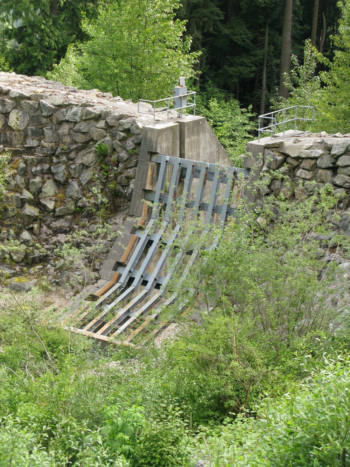
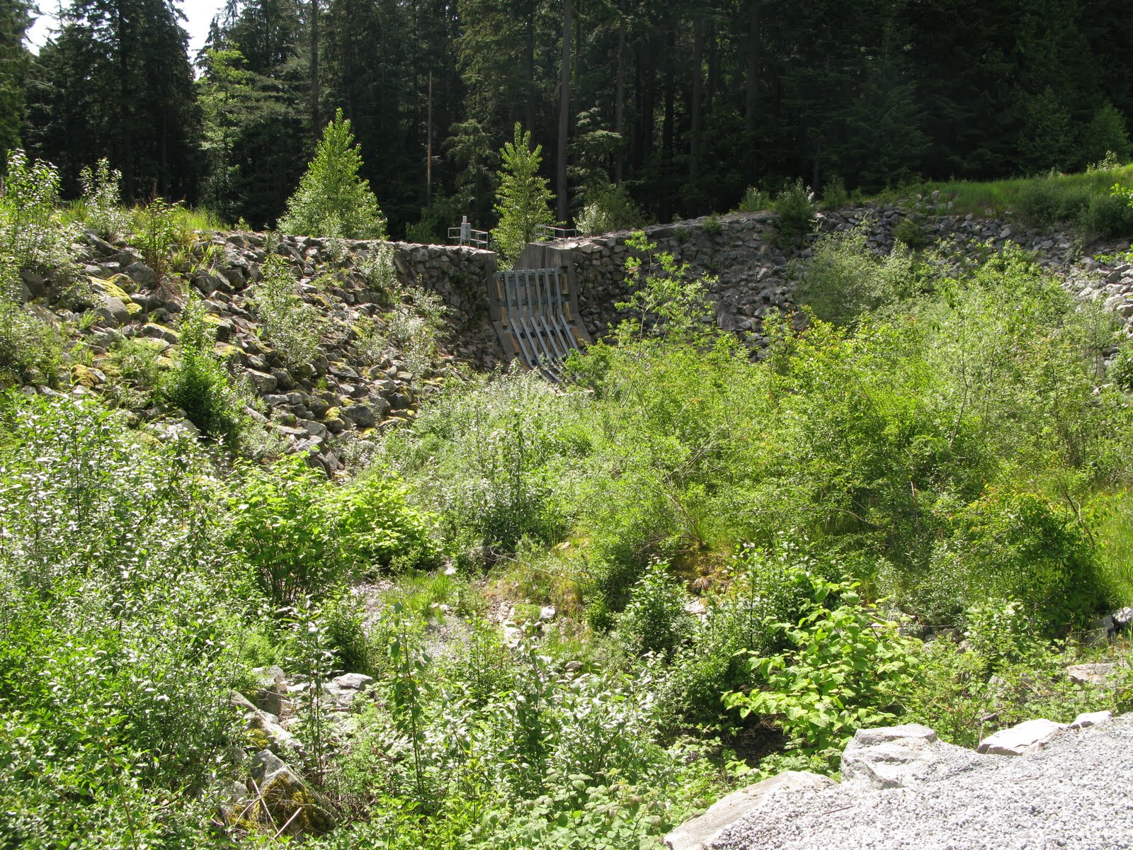
Debris Flow Dam
Along the base of Mount Fromme, several steep channels, which are prone to debris flows, meet the urban environment. Their deadly potential, coupled with the mistake of building homes in such an area, has required the District of North Vancouver to come up with methods to contain them. This debris flow channel is forced into a debris flow catchment dam. It is designed to catch the sediment and debris but allow the water to continue down the channel.
Click photo for high resolution image
Information from District of North Vancouver
Information
Photos
Additional Resources
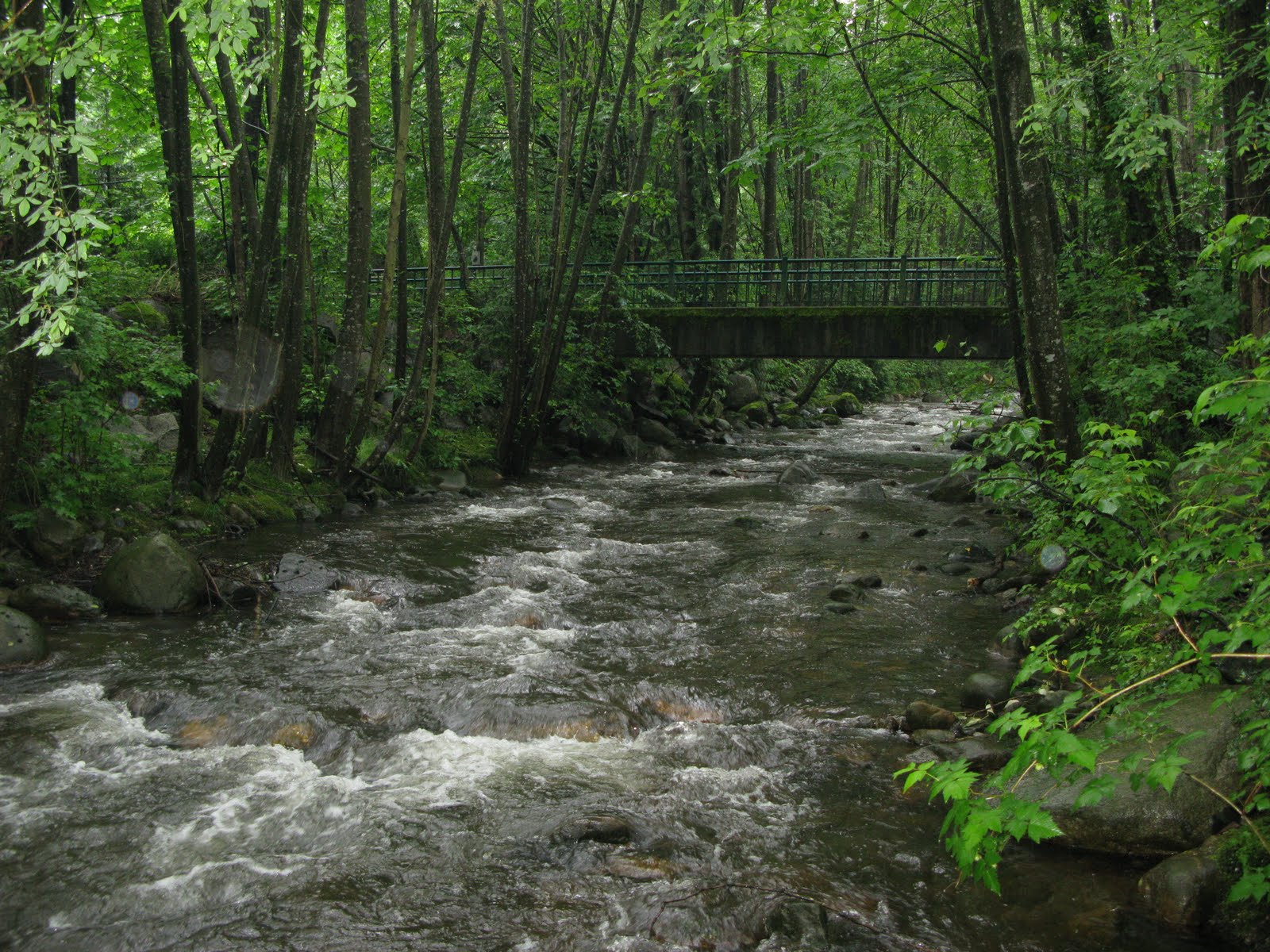
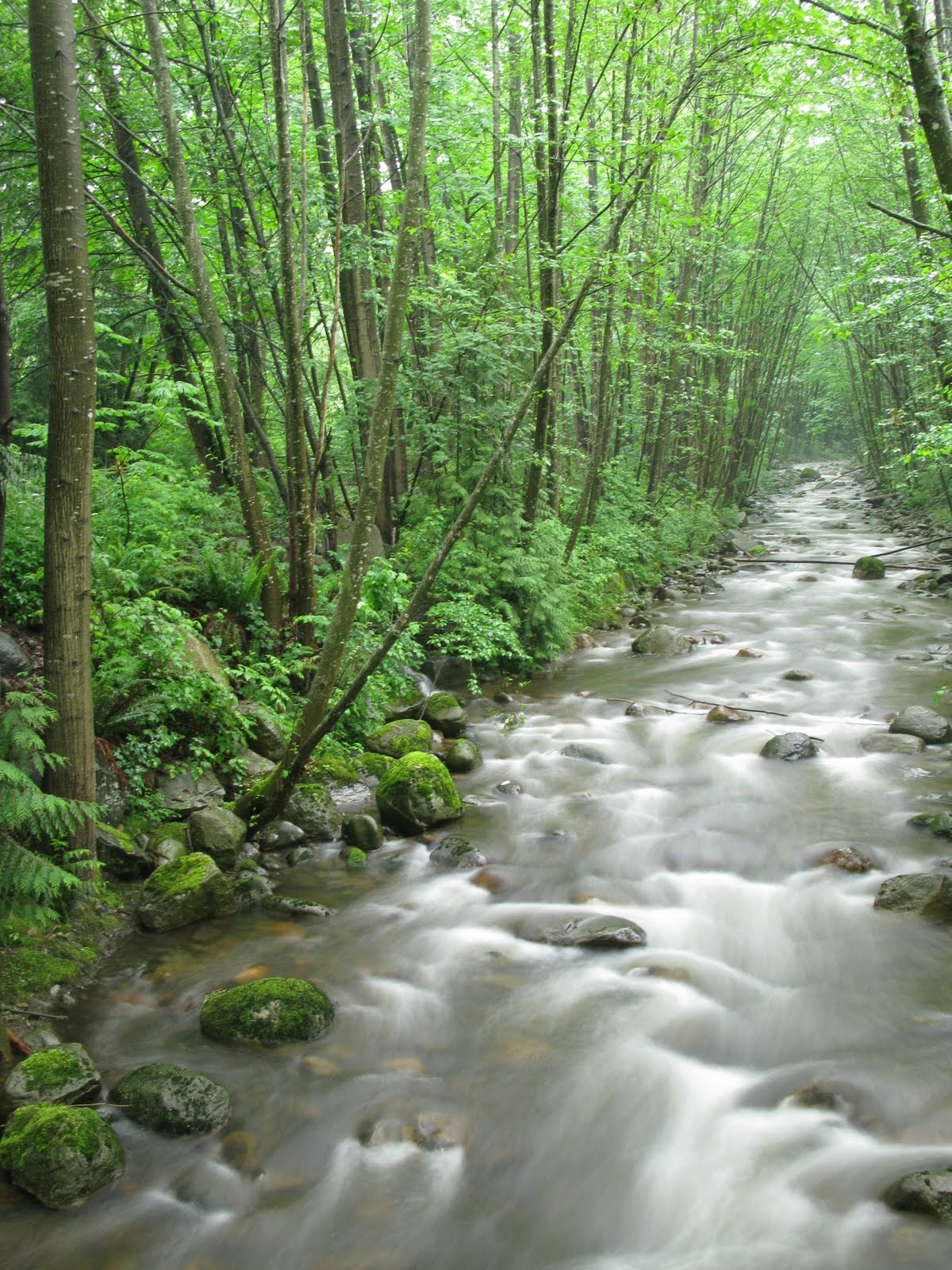
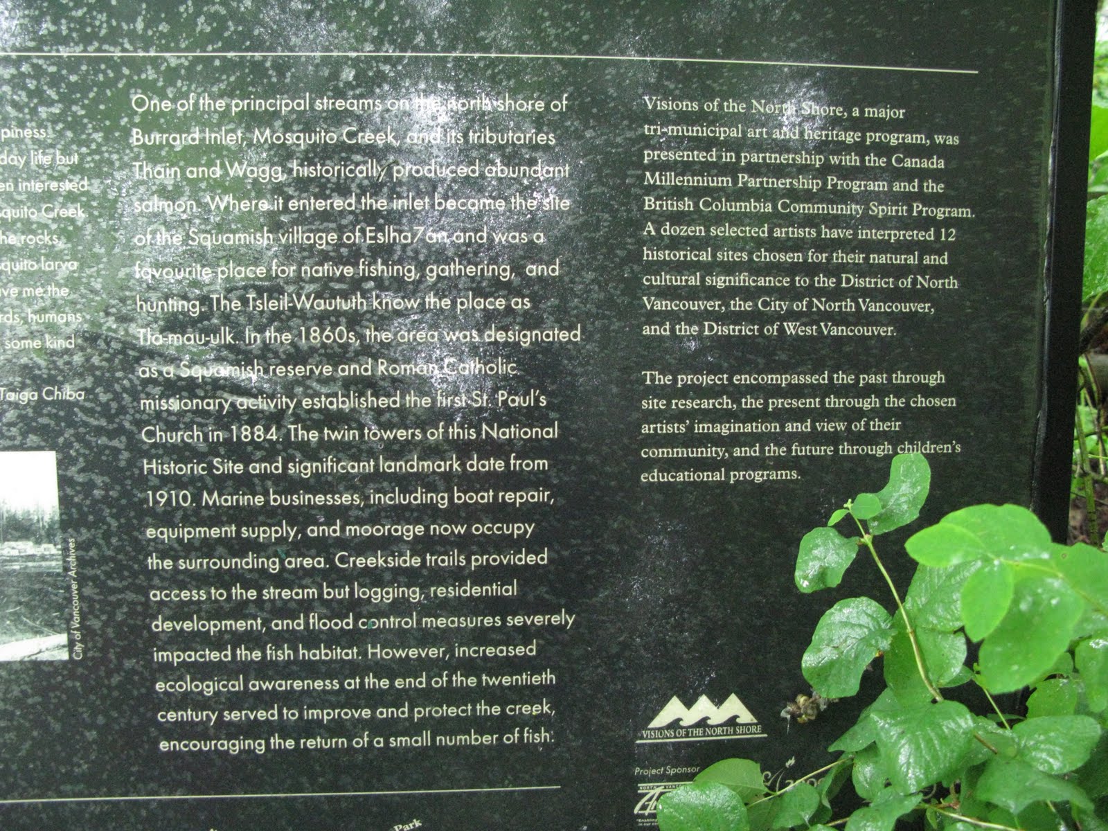
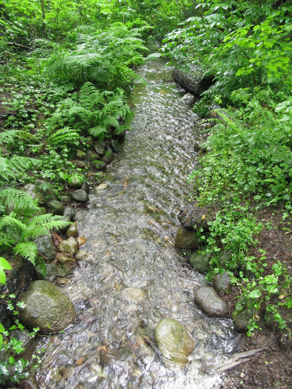
Mosquito Creek
Between Grouse Mountain and Fromme Mountain there is a highly urbanized creek that, in some parts, even runs underground. It no longer supports much salmon spawning, although there has been attempts to rejuvenate this with off-channel salmon habitat development. Mosquito Creek has been channelized, flood-controlled (with reduced water quantity) and is a sink for storm-sewer drainage, and thus has low water quality. The estuary has been dredged and filled, and as a result no natural estuary now exists.
Click photo for a high resolution image.
Information
Photos
Additional Resources
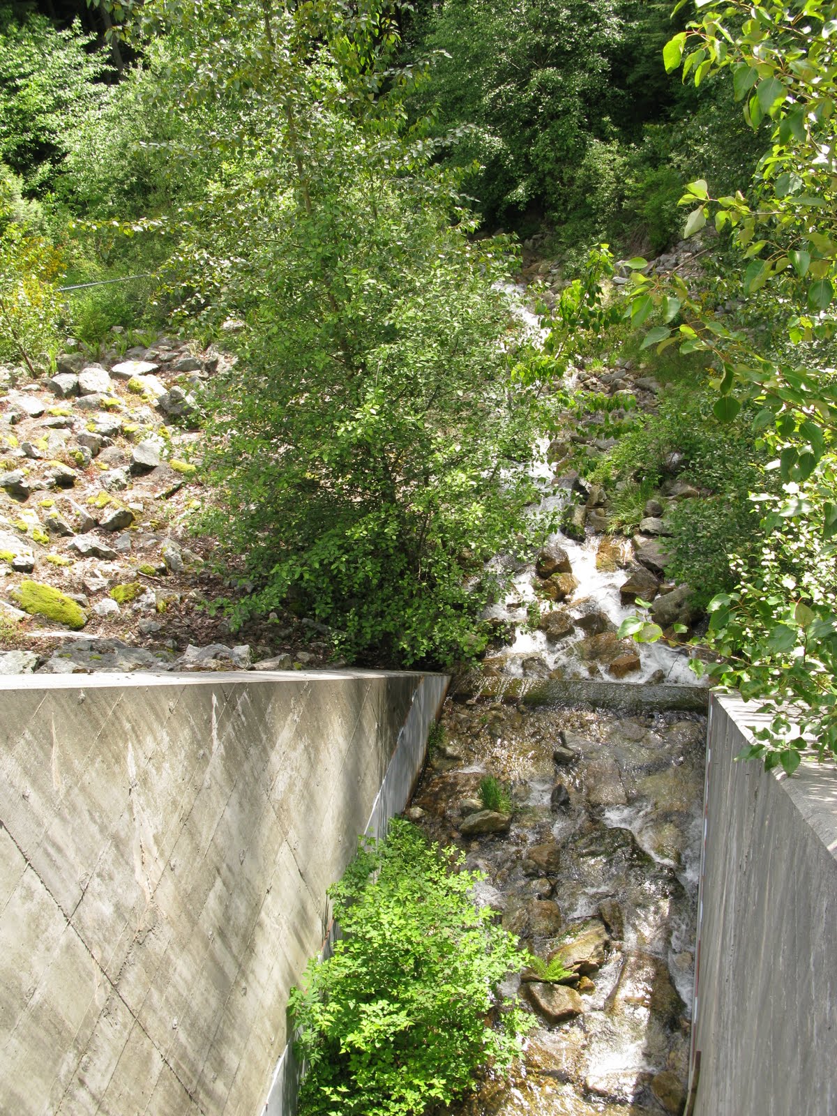
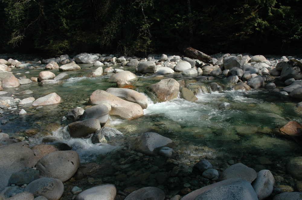
Lower Lynn Creek
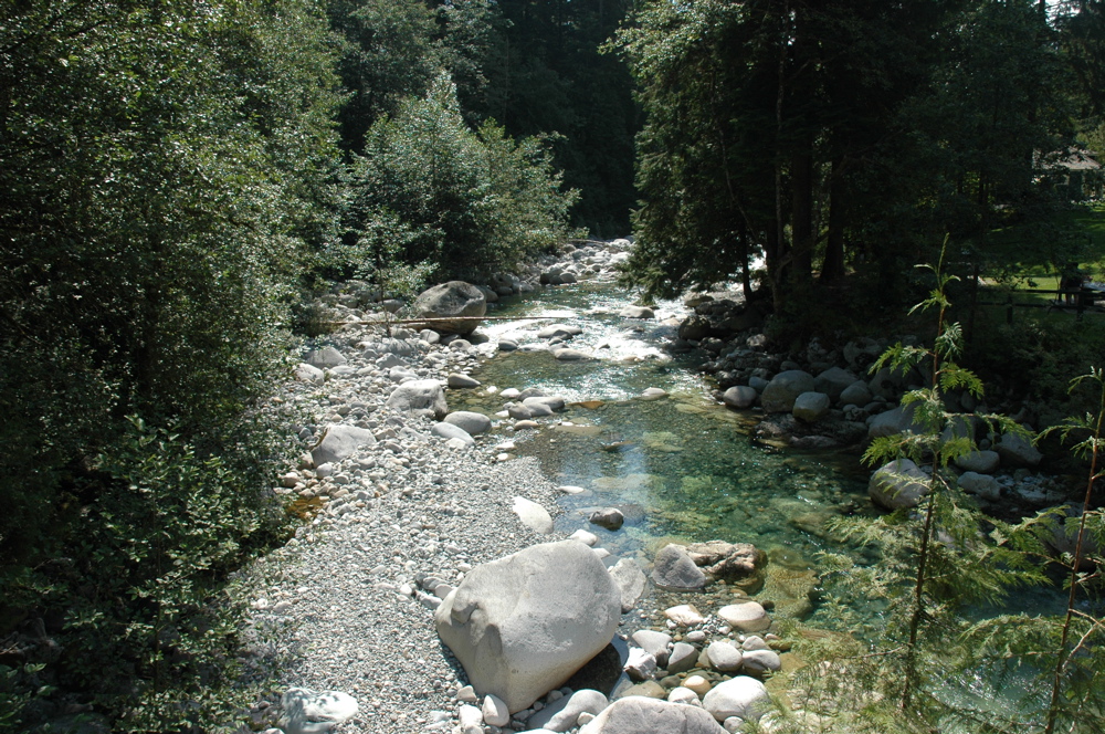
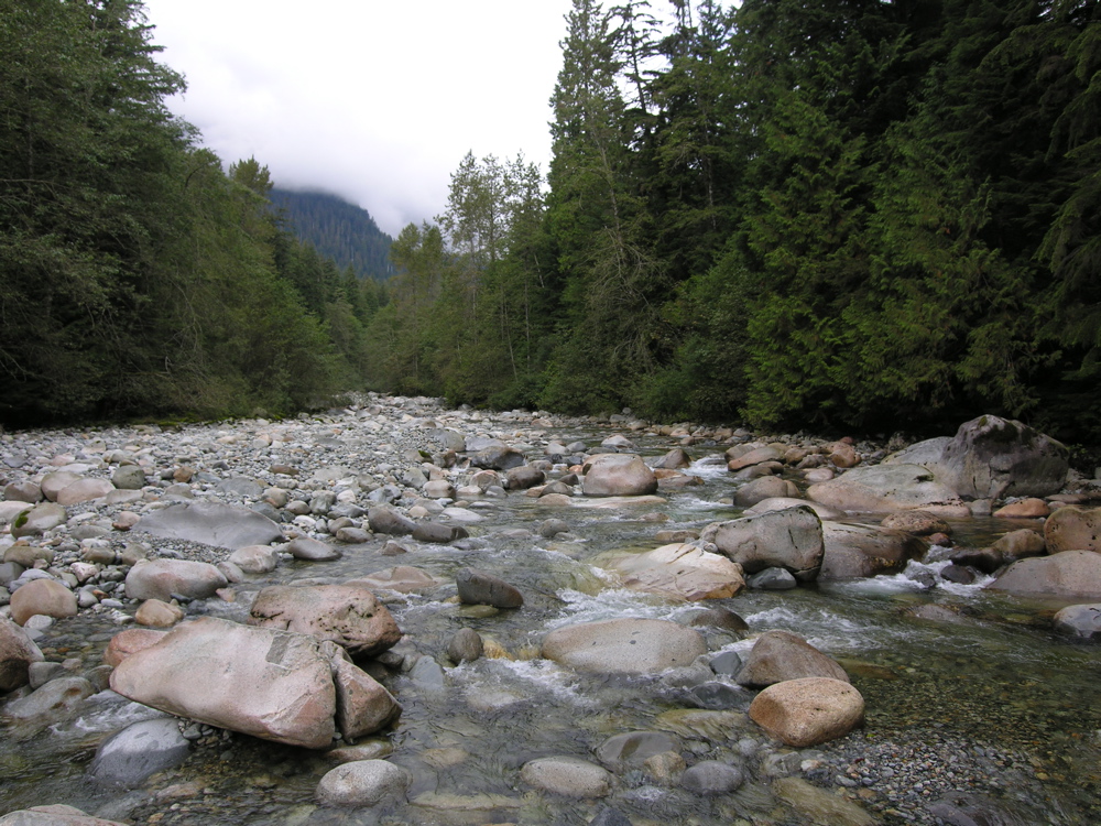
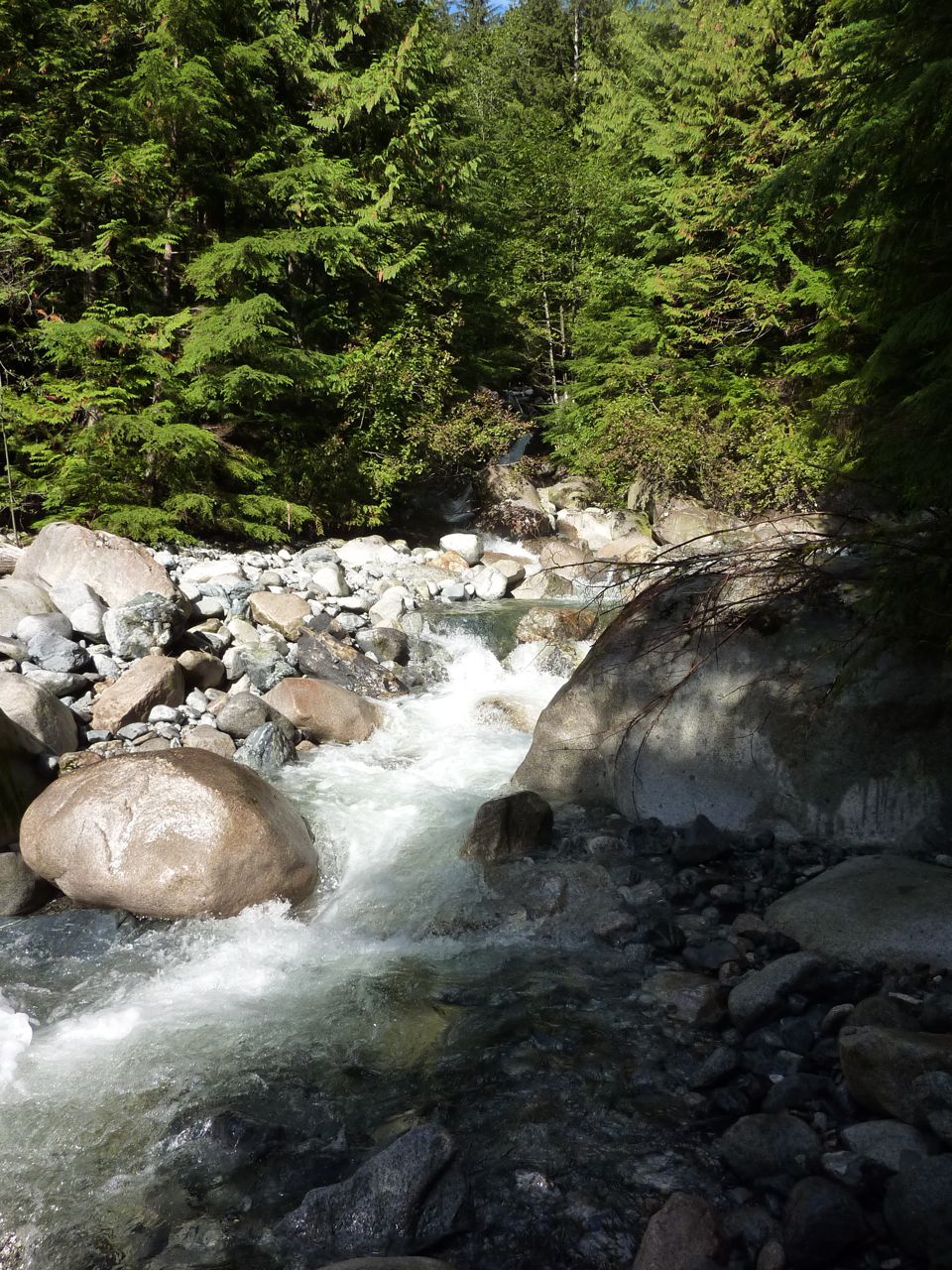
Just above the beginning of Lynn Canyon, it is possible to access the channel bed, which is composed of many large boulders. These stones, known as lag stones, were deposited either by ice during the last ice age, or by colluvial events from adjacent slopes. The growth of moss on many of them indicates that they are moved very infrequently, if at all, by the creek. On the channel banks a large exposure of basal till is visible.
Click photo for high resolution image
Not Available
Information
Photos
Additional Resources
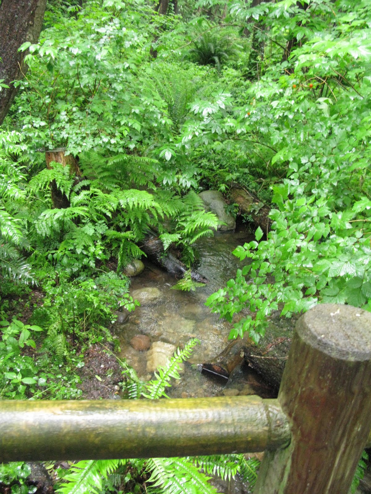
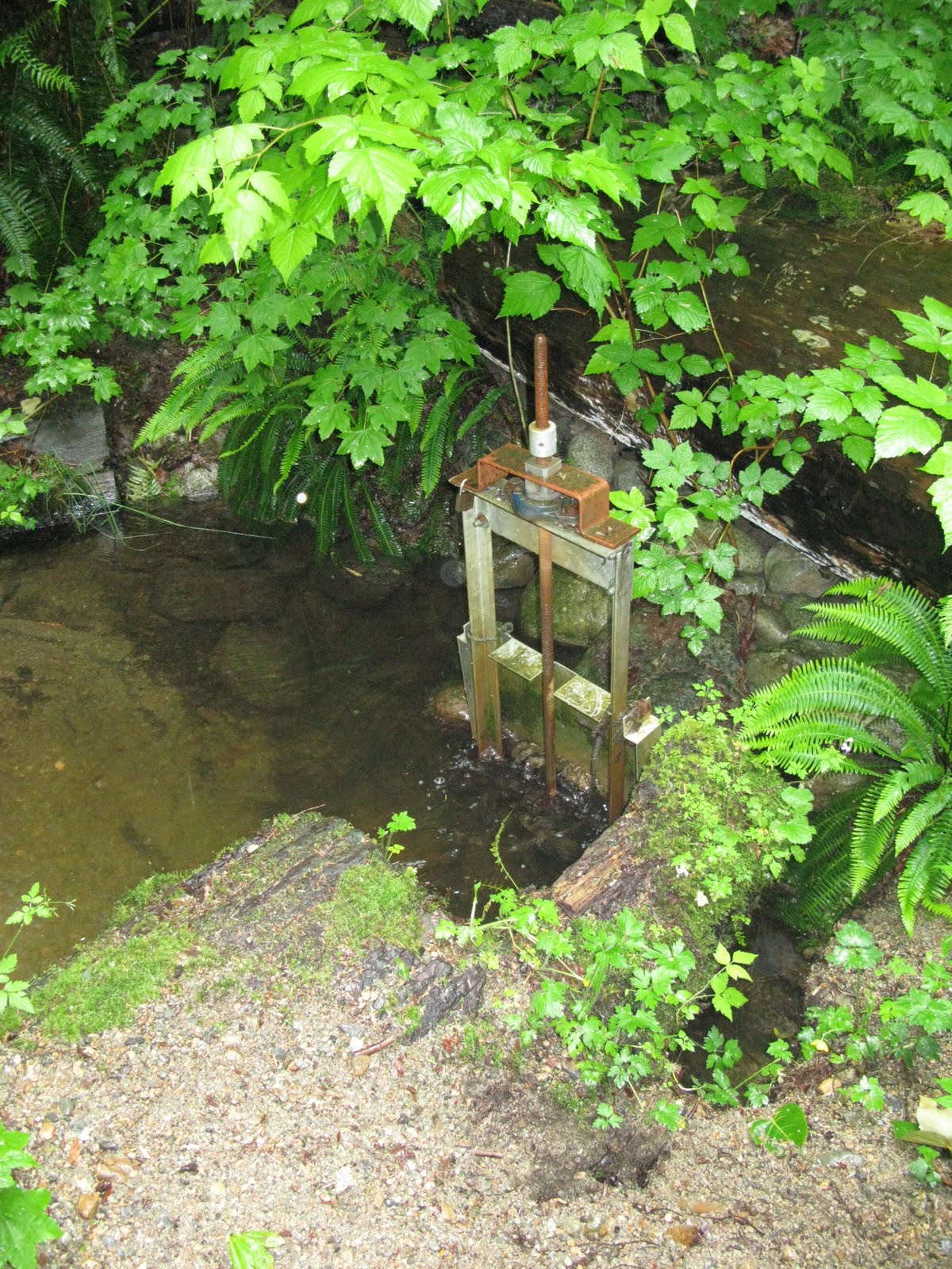
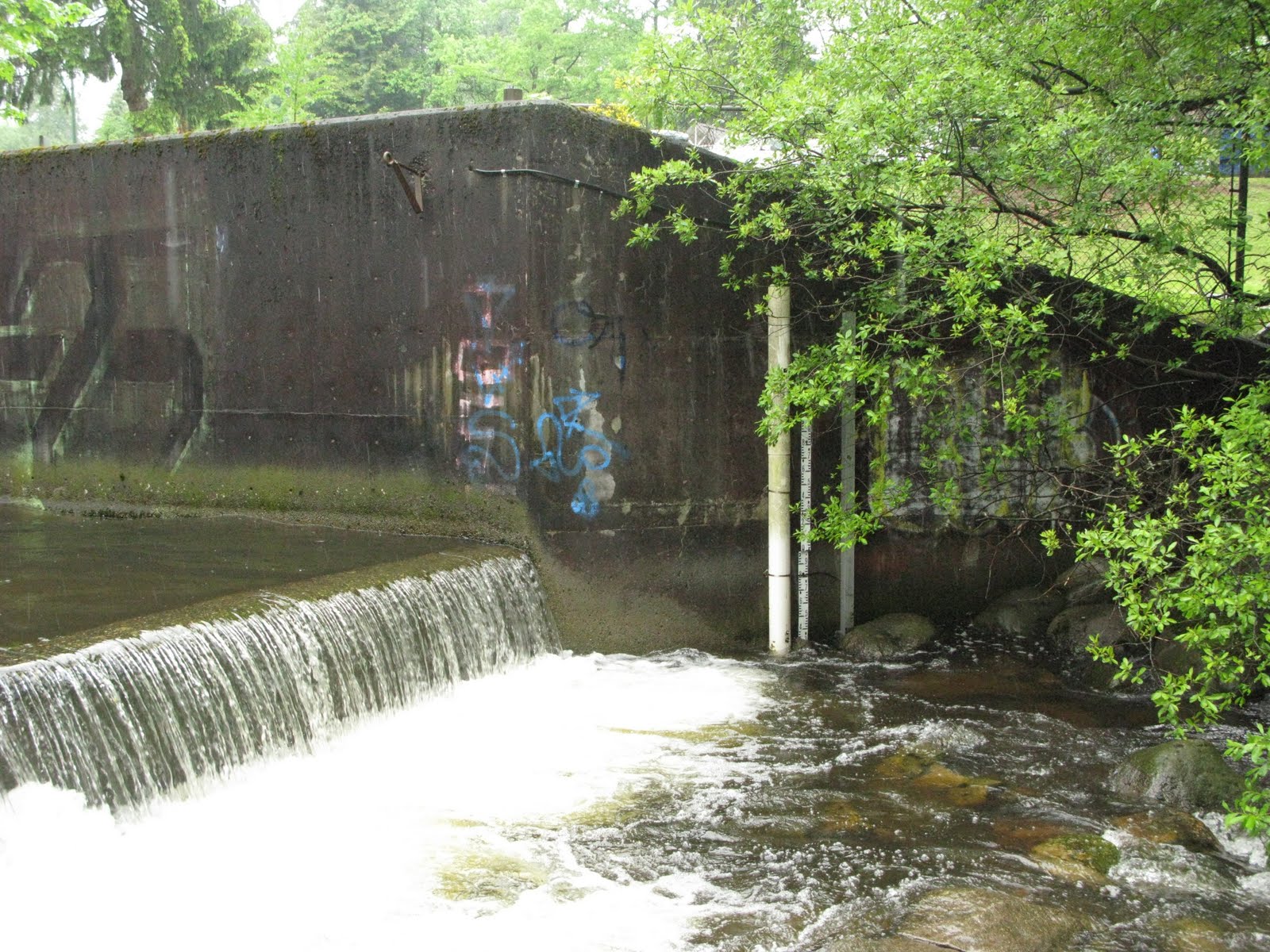
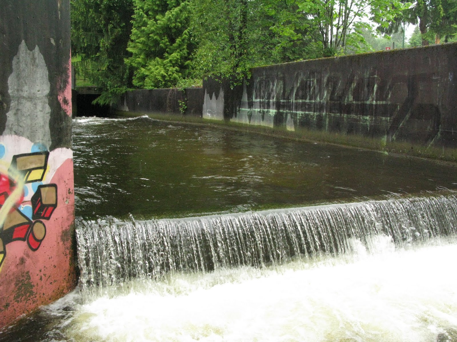
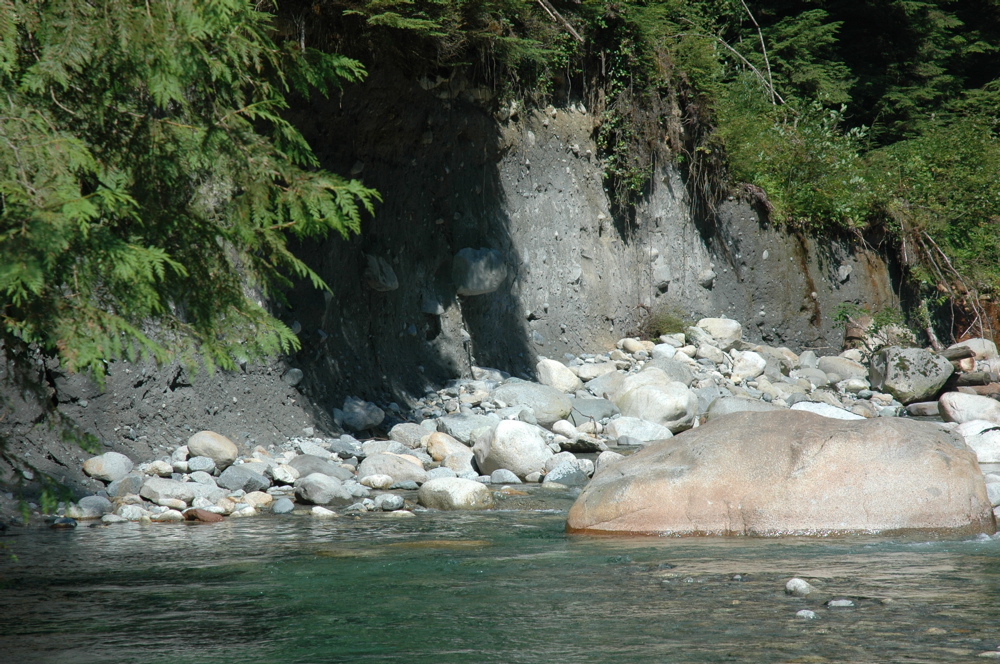
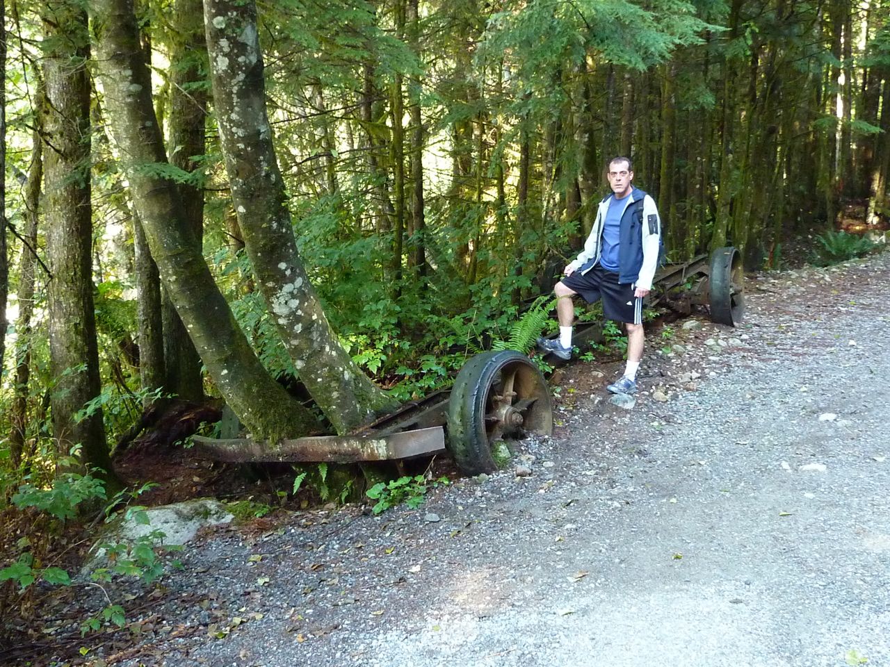
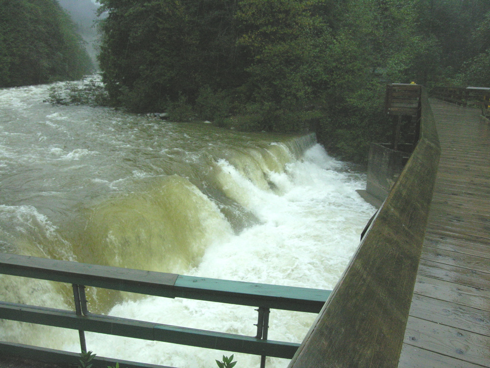
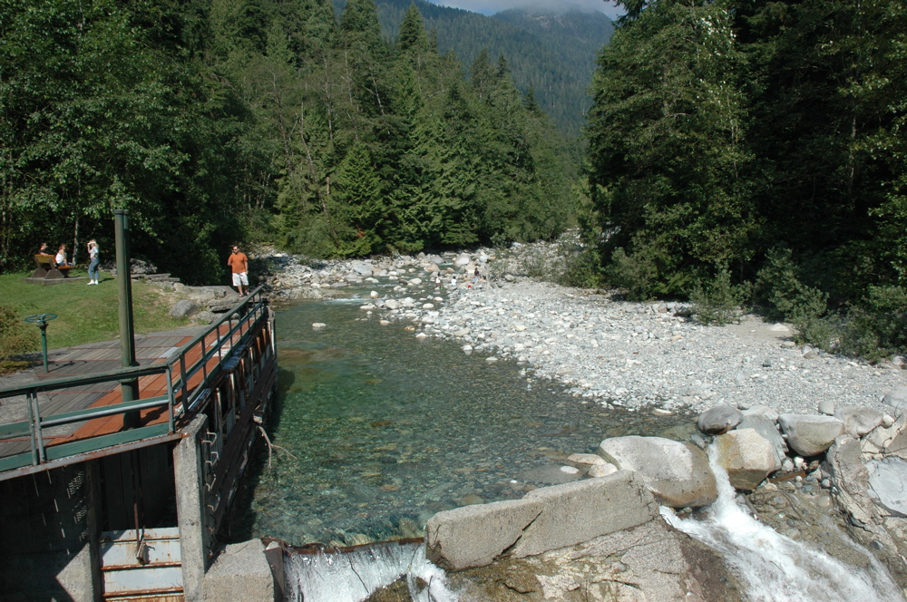
Old dam and Fish Hatchery
The bridge over the Lynn pass by an old dam dating back to when there was active logging in the watershed. Further evidence of this is present as the old rusted machinery abandoned next to the trail. The attached photos show Lynn at flood and normal summer baseflow. Glacial-lacustrine deposits are visible off the trails in this area. (Happy hunting!)
Click photo for high resolution image
Not Available
Information
Photos
Additional Resources
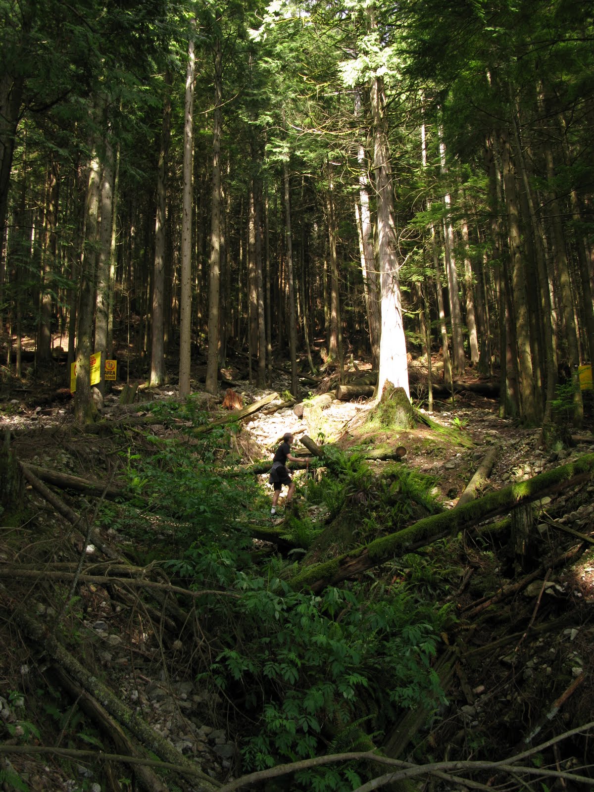
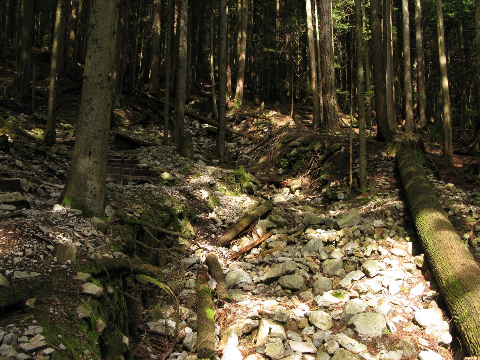
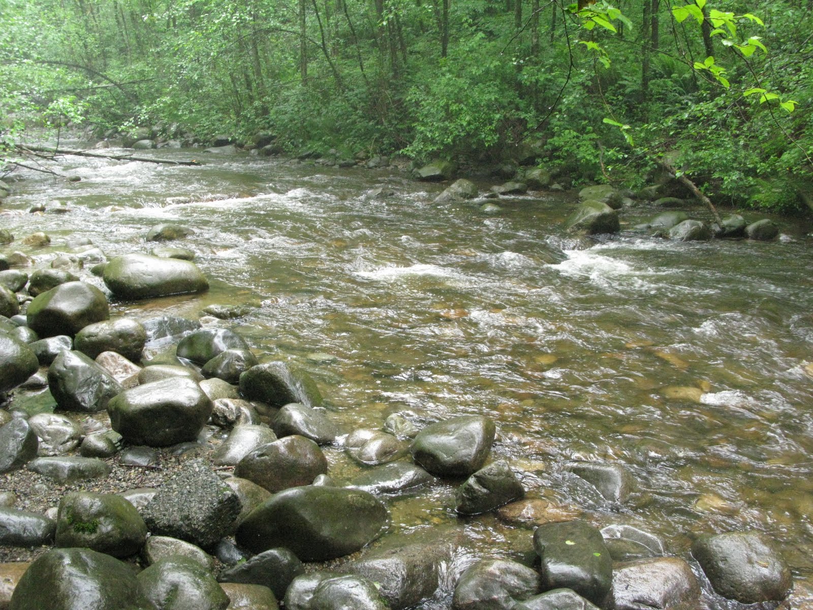
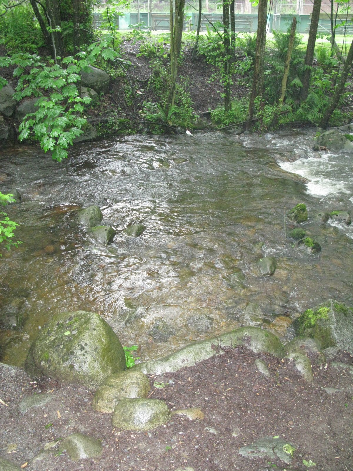
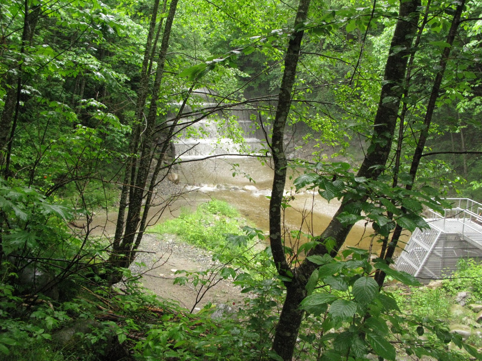
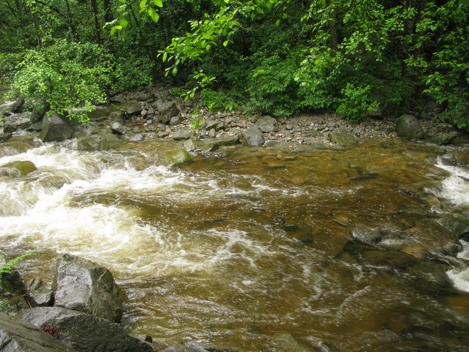
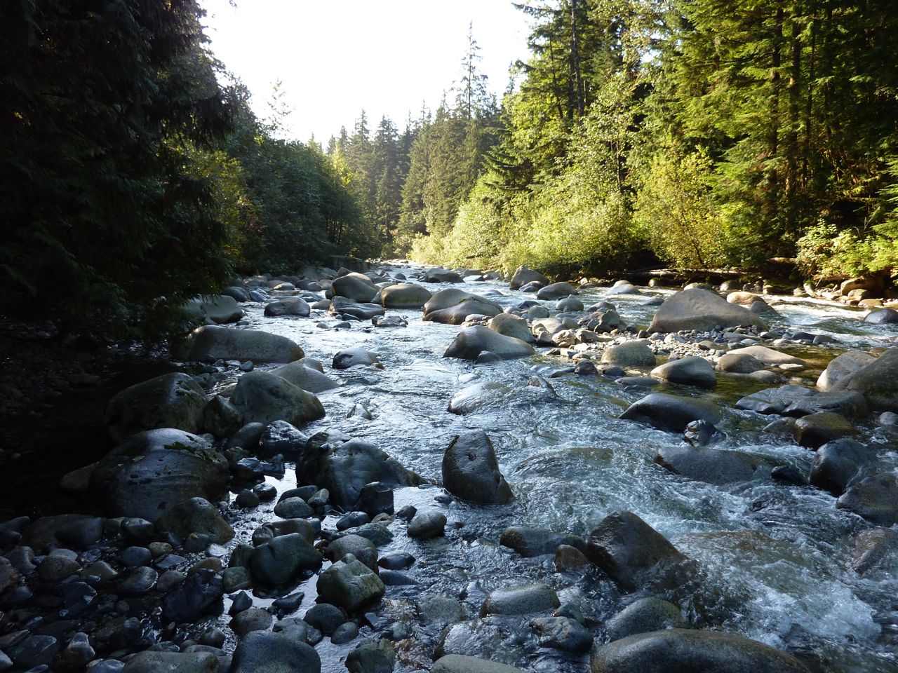
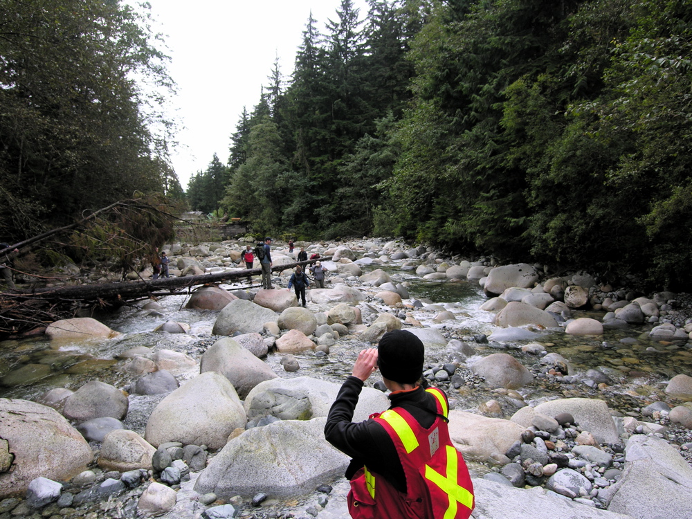
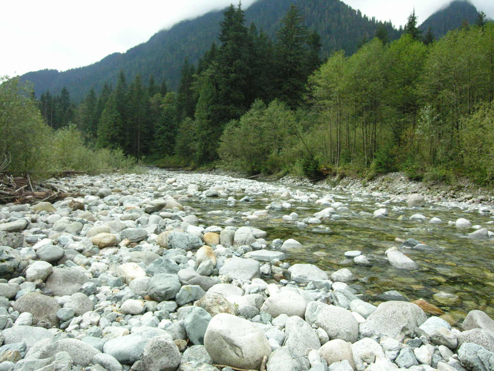
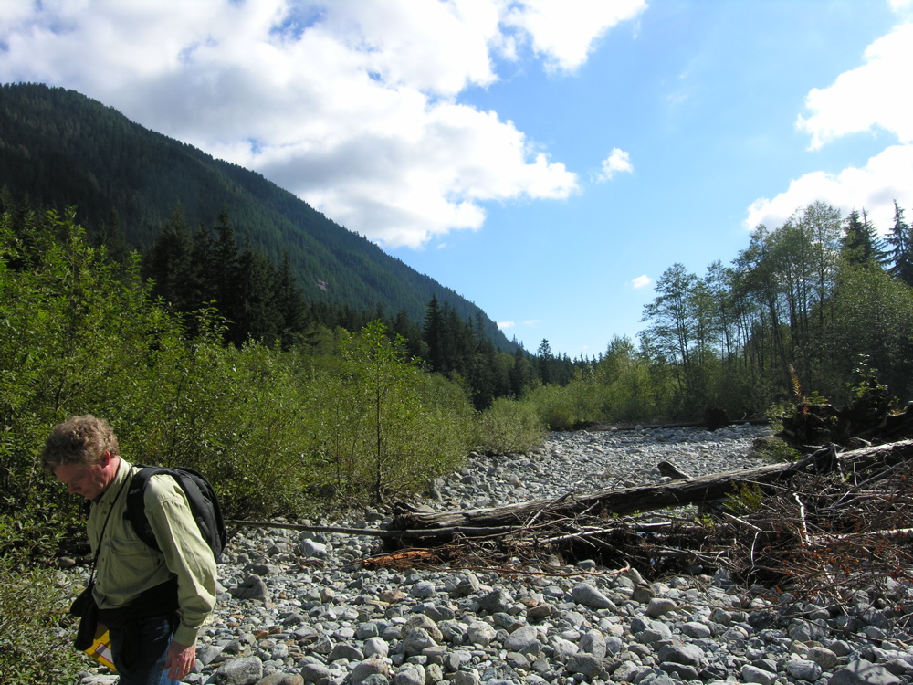
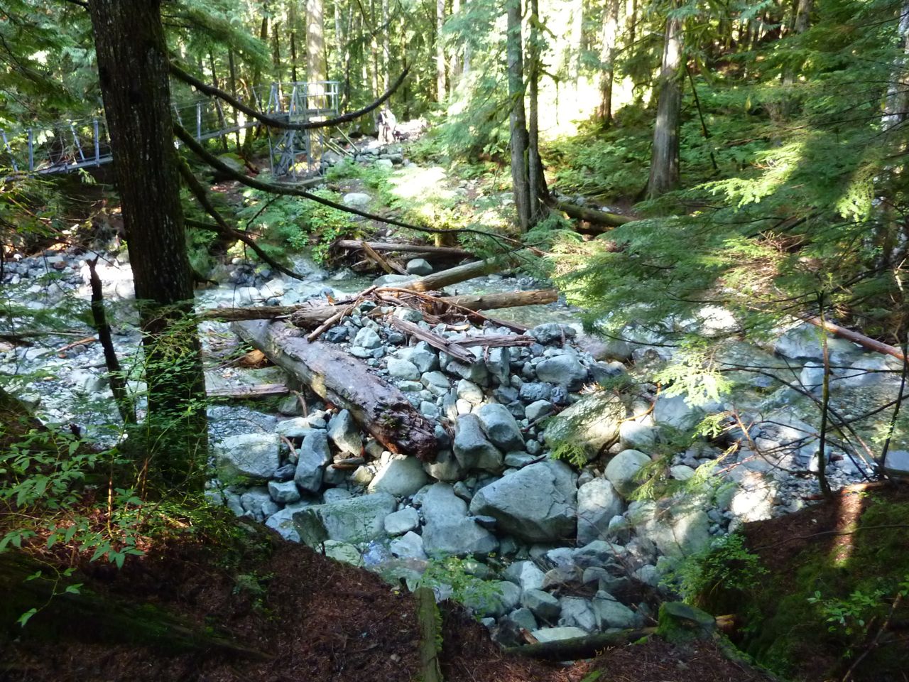
Lynn Creek - Mid valley
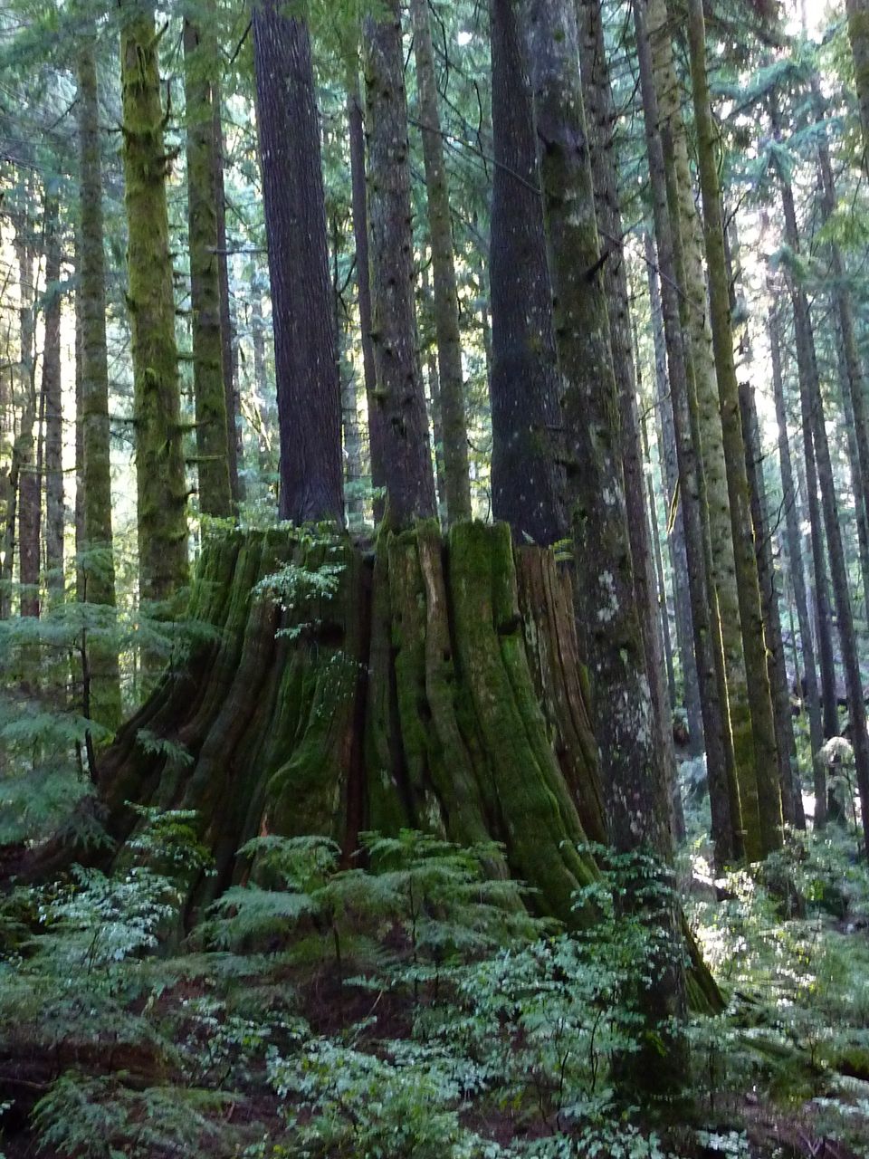
Half way up the valley, there is easy access to the creek bed and decent views across the valley. Again, notice that the large calibre of the bed sediment indicates that the sediment is rarely moved. Further, evidence of the logging history exists as old logging roads, and large stumps. Look for the springboard notches on the side used by loggers to allow them to cut the tree above the thicker base.
Click photo for high resolution image
Not Available
Information
Photos
Additional Resources
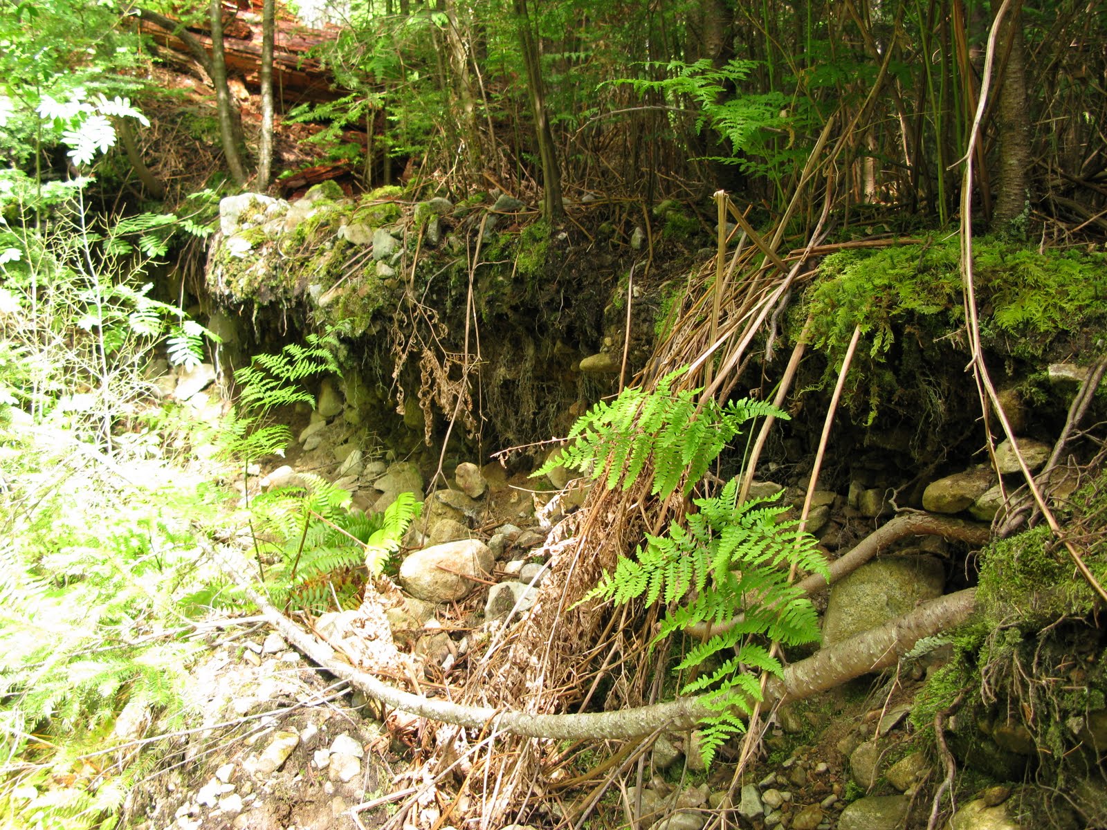
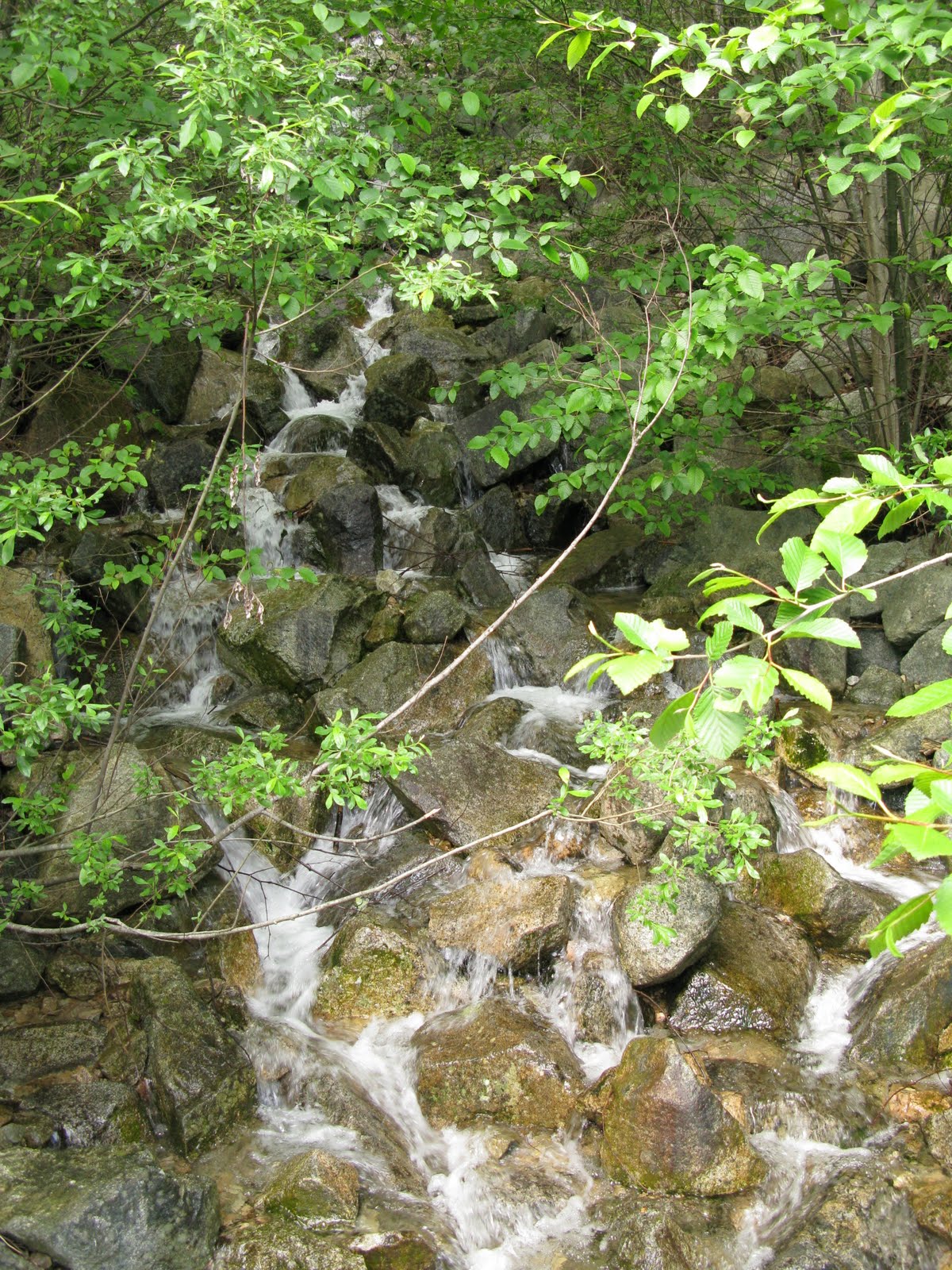
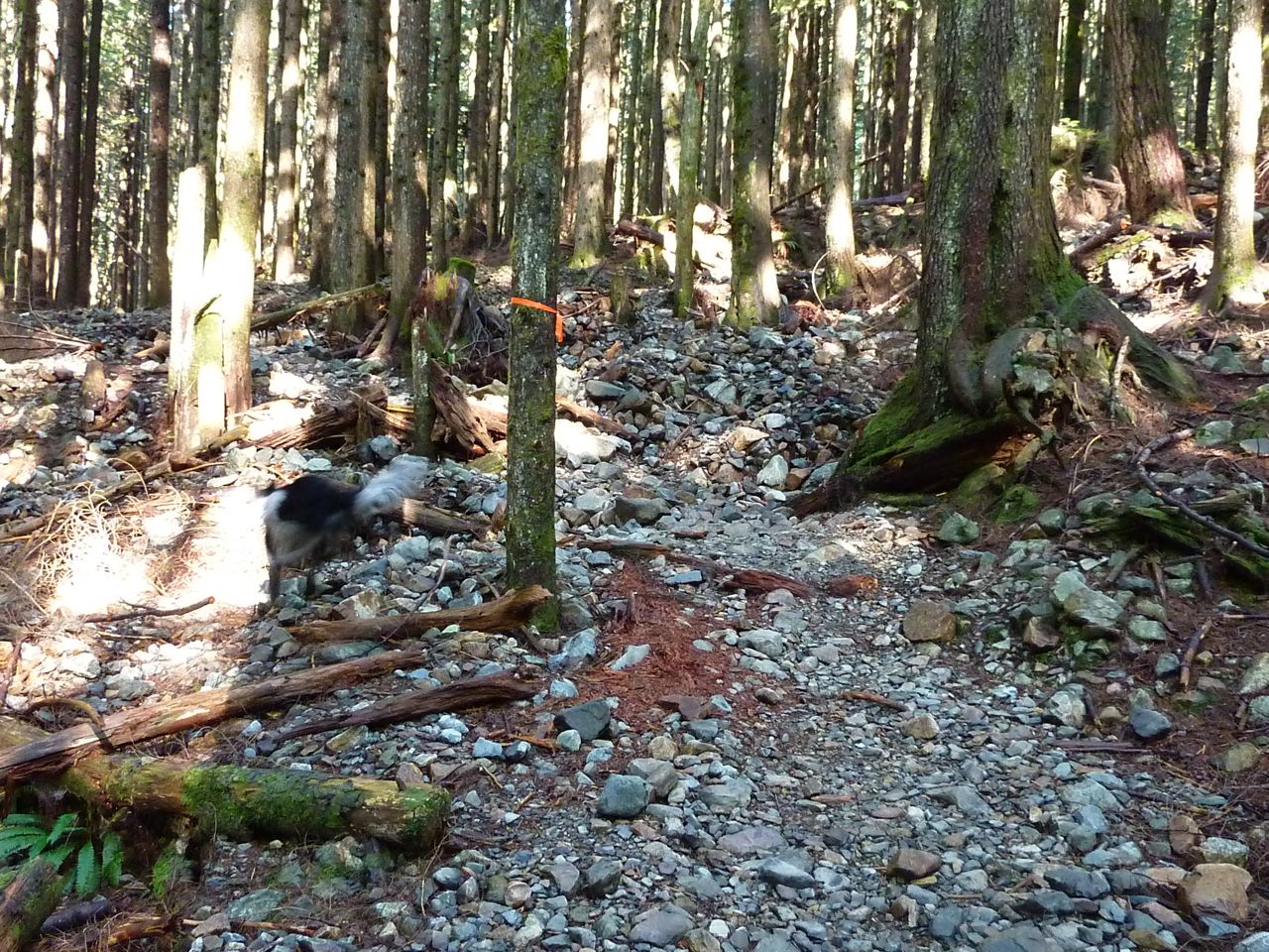
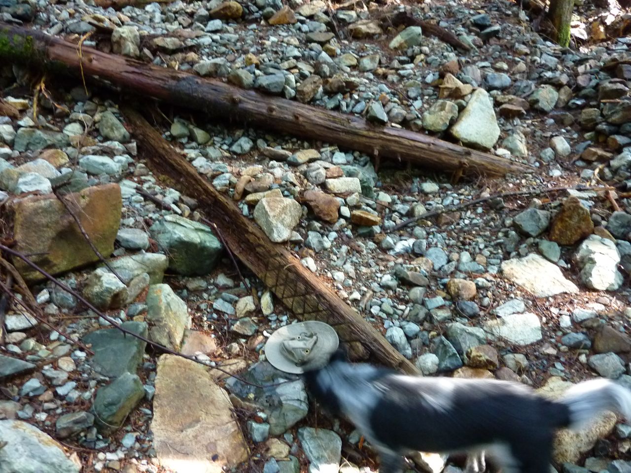
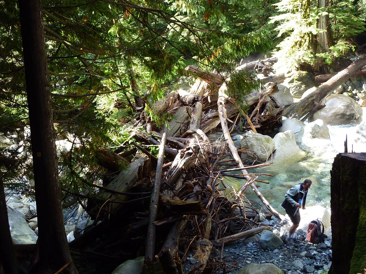
Debris Flow Channels
As you hike up the valley, you will cross several active debris flow channels. Not much is here to the untrained eye. The pictures here show the channels after a recent debris flow. Take note of the levees built up on either side of the channel. These channels deliver unsorted sediment to Lynn Creek from the steep upper portions of the watershed. Upon reaching the main channel, the fine material is washed downstream leaving the larger stones behind.
Click photo for high resolution image
Not Available
Information
Photos
Additional Resources
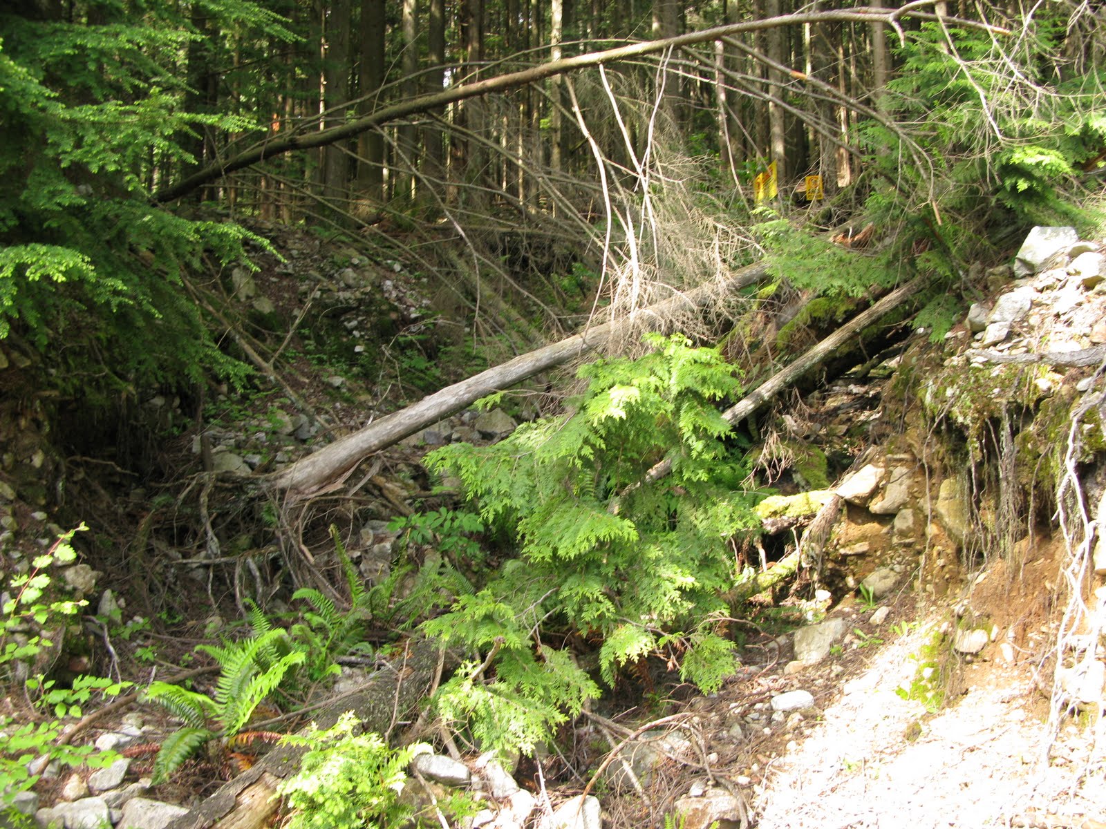
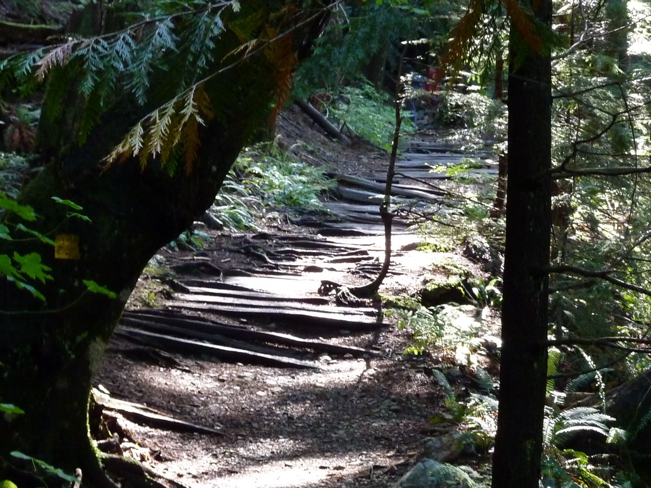
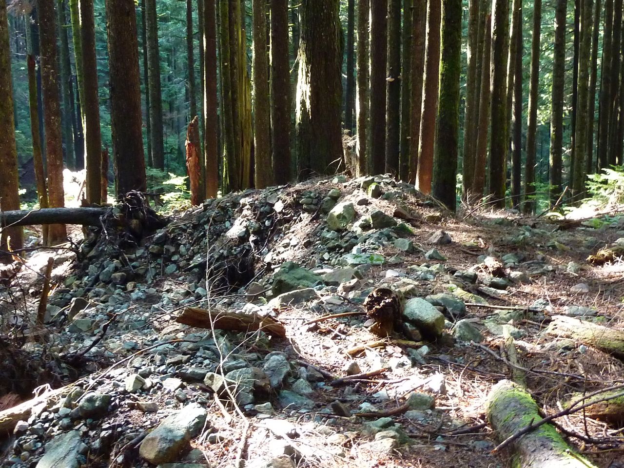
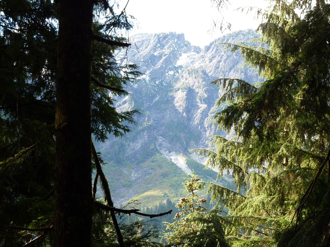
Upper Lynn Valley
In the upper portions of the valley, the slopes begin to steepen dramaticly. This is evident in the change in channel morphology, as here the the predominant features are boulder steps and cascades. Large talus slopes can be seen on the slopes above, indicating that the cliffs above are still crumbling.
Click photo for high resolution image
Not Available
Information
Photos
Additional Resources
08GA030 SEYMOUR RIVER NEAR NORTH VANCOUVER
Drainage Area 176 sqkm Not Available
Information
Photos
Additional Resources
08GA012 LYNN CREEK NEAR NORTH VANCOUVER
Drainage Area 36.3 sqkm Not Available
Information
Photos
Additional Resources
08GA013 SEYMOUR RIVER ABOVE INTAKE
Drainage Area 153 sqkm Not Available
Information
Photos
Additional Resources
08GA021/028 SEYMOUR RIVER AT SEYMOUR FALLS
Drainage Area 148 sqkm Not Available
Information
Photos
Additional Resources
08GA079 SEYMOUR RIVER ABOVE LAKEHEAD
Drainage Area 62.9 sqkm Not Available
Information
Photos
Additional Resources
08GA077 SEYMOUR RIVER BELOW ORCHID CREEK
Drainage Area 62.9 sqkm Not Available
Information
Photos
Additional Resources
08GA062 JAMIESON CREEK
Drainage Area 2.85 sqkm Not Available
Information
Photos
Additional Resources
08GA049 MOSQUITO CREEK NEAR NORTH VANCOUVER
Drainage Area 5.18 sqkm Not Available
Information
Photos
Additional Resources
08GA031 CAPILANO RIVER AT CANYON
Drainage Area 197 sqkm Not Available
Information
Photos
Additional Resources
08GA010 CAPILANO RIVER ABOVE INTAKE
Drainage Area 172 sqkm Not Available
Information
Photos
Additional Resources
08GA027 EASTCAP CREEK NEAR THE MOUTH
Drainage Area 41.4 sqkm Not Available
Information
Photos
Additional Resources
08GA026 CAPILANO RIVER ABOVE EASTCAP CREEK
Drainage Area 69.9 sqkm Not Available
Information
Photos
Additional Resources
N VAN SEYMOUR HATCHERY
Latitude: 49°26'14.000"N Not Available
Information
Photos
Additional Resources
GROUSE MTN RESORT
Latitude: 49°22'05.000"N Not Available |
||||||||||||||||||||||||||||||||||||||||||||||||||||||||||
|
Department of Geography - Faculty of Arts - The University of British Columbia |
||||||||||||||||||||||||||||||||||||||||||||||||||||||||||