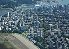
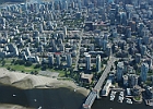
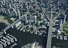
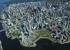
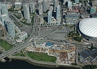
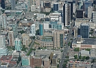
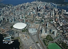
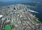
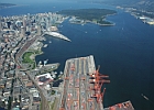
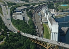
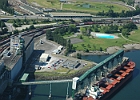
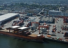
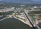
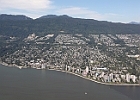
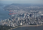
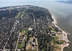
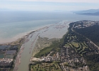
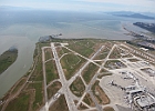
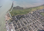
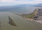
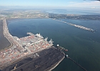
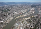
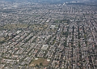
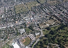
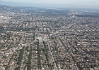
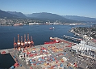
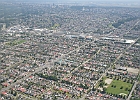
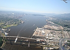
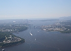
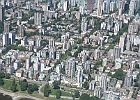
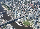
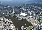
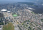
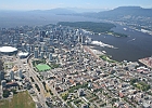
Above Vancouver

Here's a small sample of images above Vancouver, taken between June of 2006 and August of 2011.
over van001  The West End, June 2006.  English Bay is in the foreground, and the view is looking north along Denman Street towards Coal Harbour. over van002  The West End, June 2006.  Burrard Street Bridge is at bottom right. over van003  Burrard Street Bridge (left), Granville Street Bridge (right), June 2006. over van004  The downtown peninsula, June 2006.  The development in the foreground is Concord Pacific Place, at one time the single largest master-planned residential community in North America. over van005  New condo construction between the exit of Cambie Street Bridge and BC Place.  The puffy white inflatable roof of BC place began to show its age in 2008 and 2009, at one point collapsing after a small rupture; from a distance the facility suddely looked like a failed souffle.  The new retractable roof is nearing completion at the end of the summer of 2011. over van006  Vancouver Central Library, the neo-Roman-coliseumesque structure, at center.  Across the street, in the foreground, is the CBC, while across the street to the right is the Central Post Office.
over van007  BC Place, GM Place, and the rest of the downtown peninsula, June 2006. over van008  Downtown Vancouver, looking west, June 2006. over van009  Downtown, looking west.  From the foreground to the distance, the view includes the Port facilities, Gastown, the sail-roof features of Canada Place and the cruise ship terminal, Coal Harbour, Stanley Park, and Lion's Gate Bridge. over van010  Approach to the Second Narrows Bridge, and the Alberta Wheat Pool Grain Elevator complex.  The Alberata Wheat Pool was built in 1927, and it is the world's largest oceanside grain elevator. over van011  Alberta Wheat Pool complex, June 2008. over van012  Vanterm loading facility of the Port of Vancouver, June 2008.
over van013  Northern approach of Lion's Gate Bridge, August 2011. over van014  West Vancouver, August 2011. over van015  The downtown peninsula from the west, August 2011. over van016  Kitsilano, looking west towards UBC, August 2011. over van017  North Arm of the Fraser River, just downhill from UBC's endowment lands, August 2011. over van018  YVR, with the UBC-Vancouver campus visible at top right, August 2011.
over van019  Northern Richmond, August 2011. over van020  Southern Richmond, August 2011.  The small fishing port of Steveston is at bottom left. over van021  Richmond, viewed across the South Arm of the Fraser River. over van022  Roberts Bank terminal, part of the Port of Vancouver.  Roberts Bank was completed in 1995.  The facility doubled the capacity of the entire Port of Vancouver; this terminal and handles primarily bulk commodity traffic.  The passenger terminal for BC Ferries at Tsawassen is visible at center right. over van023  Mitchell Island, in the North Arm of the Fraser River between Vancouver (left) and Richmond (right).  The Skytrain "Canada Line" connecting downtown Vancouver to the airport crosses at center left; in the distance, Mitchell Island is crossed by the Knight Street Bridge.  August, 2011. over van024  South Vancouver, looking East, August 2011.
over van025  Nat Bailey Stadium, just to the left (North) of Queen Elizabeth Park, August 2011. over van026  Vancouver looking east, August 2011.  The diagonal route is Kingsway, which opened in 1913 to link Vancouver and New Westminster. over van027  Part of the Port facilities.  With the completion of fhe Panama Canal in 1914, there were optimistic projections for Vancouver's gateway role.  Vancouver's representative in Parliament, H.H. Stevens, encouraged the Dominion government to build the first grain elevator to handle the expected traffic.  The outbreak of hostilities in World War I slowed global trade, and so for several years the facility was derided as "Stevens' Folly."  Once global trade recovered after the war, however, the facility quickly paid for itself many times over. over van028  Vanterm facility of the Port of Vancouver, June 2008. over van029  Vancouver East Side, June 2008.  The park in the foreground at right is Clinton Park, in the southern section of Hastings-Sunrise.  The towers of Metrotown are in the distance at left.  The low-slung warehouse distribution buildings gather between Broadway and Grandview as they approach the Trans-Canada at center left. over van030  Second Narrows Bridge, looking west, June 2008.
over van031  Second Narrows Bridge, from the east, June 2008. over van032  West End, June 2008. over van033  Burrard Street Bridge, Granville Street Bridge, and Concord Pacific Place, June 2008. over van034  The eastern expanse of False Creek, June 2008; the Olympic Village is at left, under construction.  The metallic sphere in the foreground is Science World, one of the original pavilions from the 1986 World Exposition. over van035  Downtown looking west, June 2008. over van036  Downtown looking west, June 2008.